Dates & Pricing
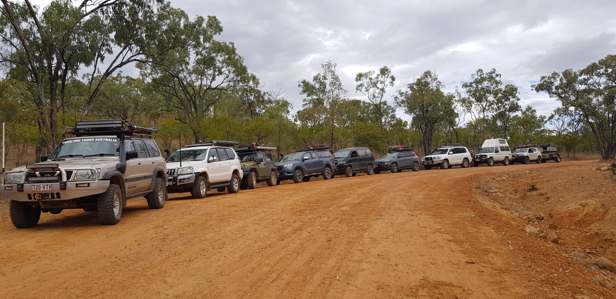
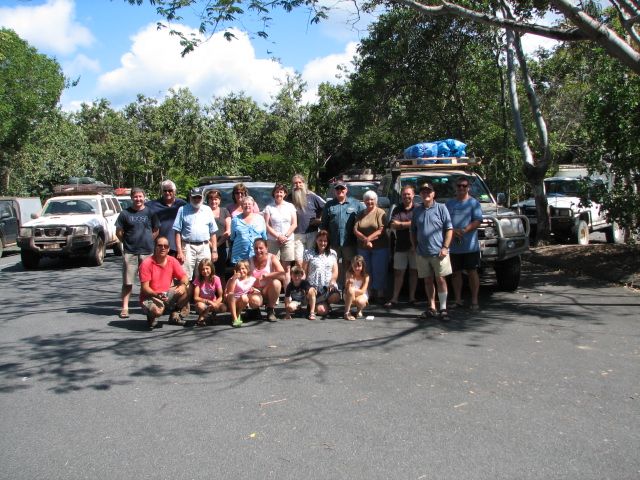
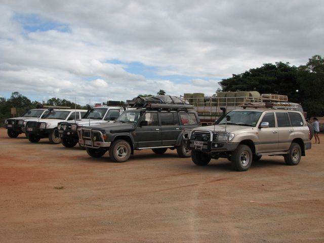
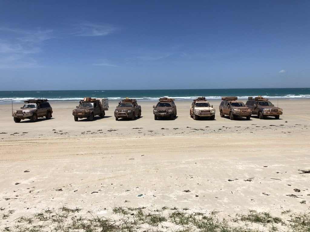
Experience the real adventure of driving yourself through one of the last great wilderness areas of Australia. To stand at the most northerly point of mainland Australia is the dream of many who enjoy the quest to journey into remote areas.
Pricing
2026 Prices
- Tag-Along – $7,400 per vehicle for 2 people
- Extra person – $1,200
- Children under 14 – $750
- 10% discount for return customers
- $950 deposit on booking
2027 Prices
- Tag-Along – $7,900 per vehicle for 2 people
- Extra person – $1,200
- Children under 14 – $750
- 10% discount for return customers
- $1,000 deposit on booking
Dates
- July 13th – July 30th 2026 (Fully booked)
- August 3rd – August 20th 2026 (Fully booked)
- August 24th – September 10th 2026 (2 spaces left)
2027 Dates
- July 13th – July 30th 2027 (6 spots left)
- August 3rd – August 20th 2027 (9 seats left)
- August 24th – September 10th 2027 (9 seats left)
Inclusions
- Welcome Dinner
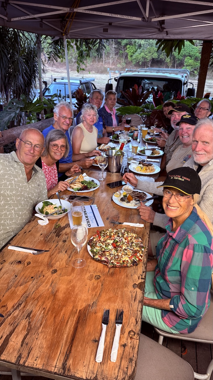
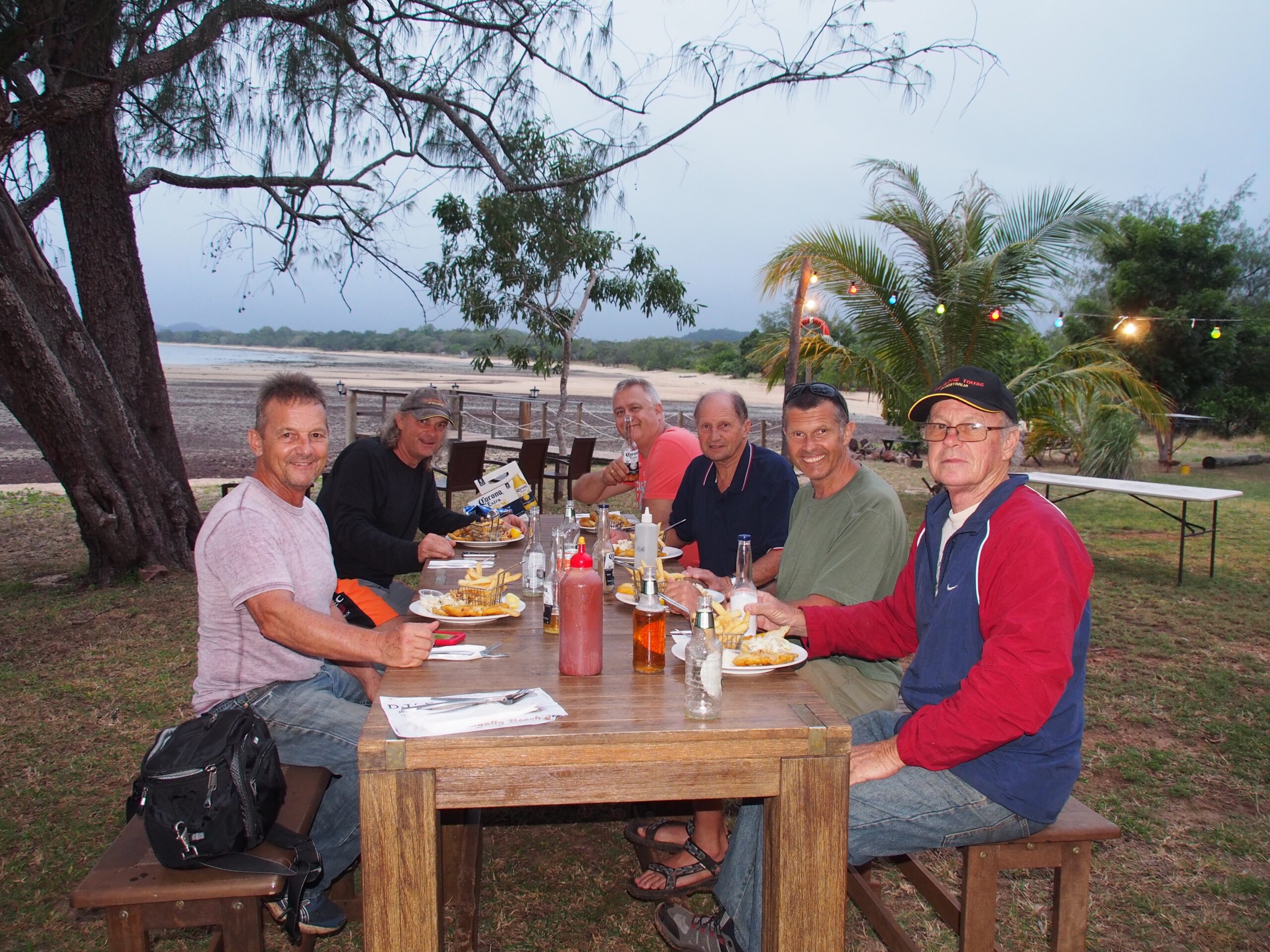
- Farewell Dinner
- All National Park permits and all Camping Fees
- Guided Cave Tour with National Parks Ranger
- Western Cape Eco Boat Tour
- Jardine River Ferry charges
- Daintree River Ferry charges
- Toilet facilities at all camp sites
- Bush showers at most camp sites
- Services of a very experienced tour leader and fully equipped escort vehicle
- Satellite Phone, UHF radio and emergency first aid kit carried by tour leader
- Licensed and accredited tour operator
Cape York is marketed as Queensland’s last frontier and possibly one of the last remaining ones left in Australia.
It is probably more famously known as hosting Australia’s most northern tip. Stretching 1000km north of Cairns, the peninsula itself is close to the size of the UK.
It was named by Lt. James Cook in 1770 after His Royal Highness the Duke of York.
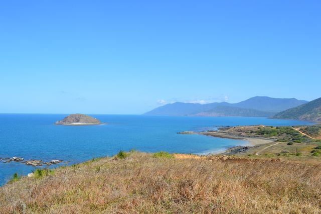
From the tip, it is about 140 km to New Guinea across the island-studded Torres Strait. The west coast borders the Gulf of Carpentaria and the east coast borders the Coral Sea.
Cape York Peninsula is approximately 207,000 square kilometres in area and it has a population of about 18,000, of which a large percentage are Aborigines and Torres Strait Islanders.
Between January and April, during the wet season, it is almost out of bounds apart from those who live there, who even then rely on courage and helicopters to keep themselves in fuel and everyday provisions.
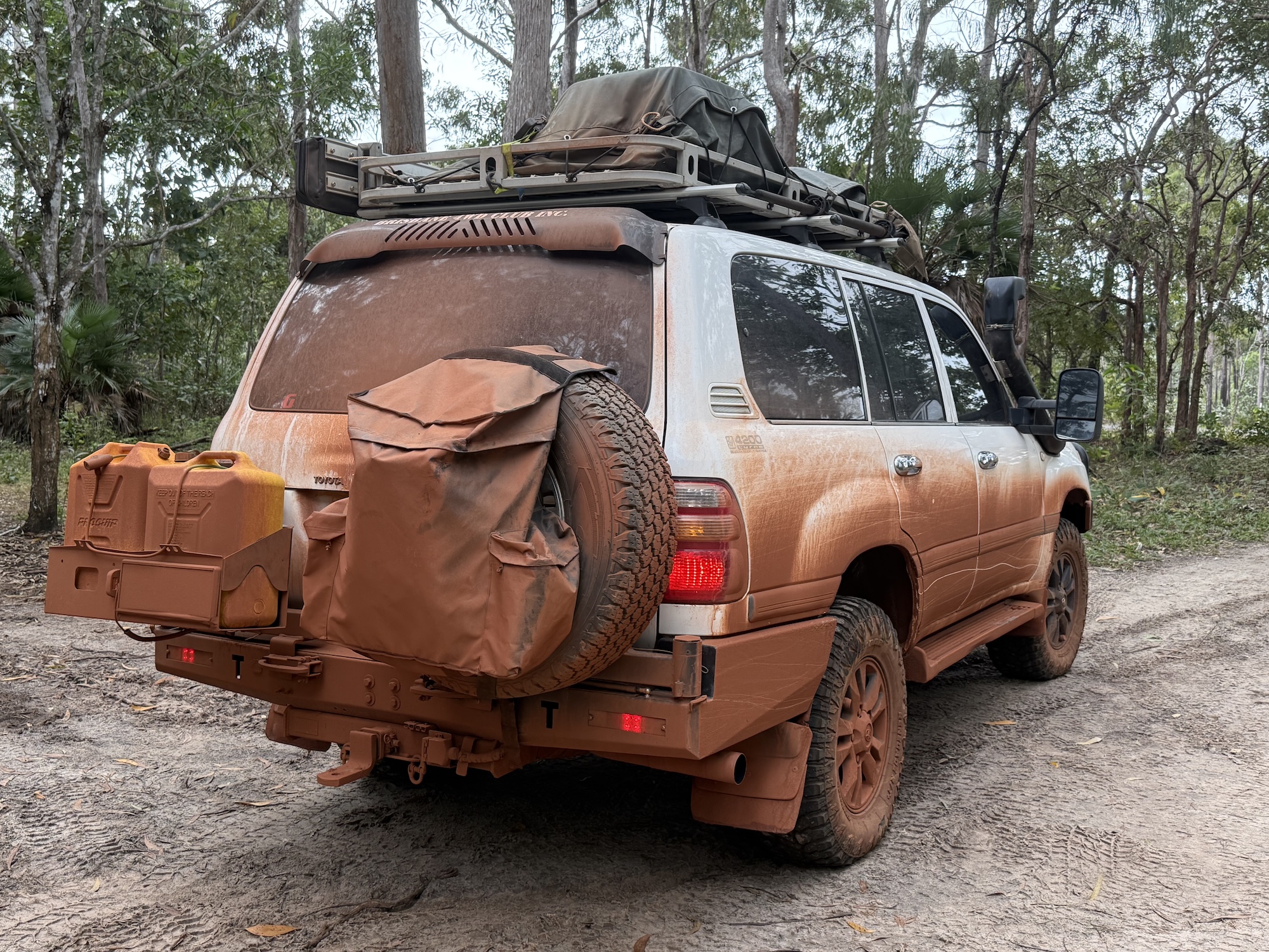
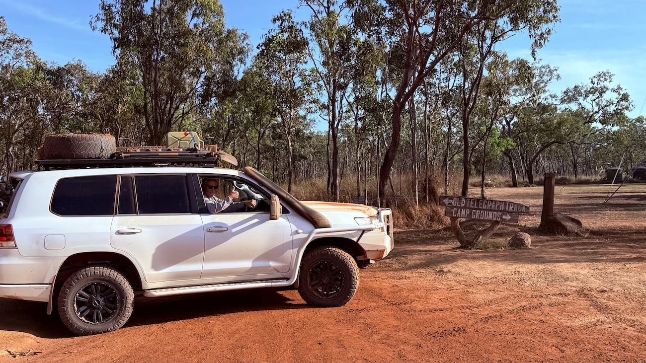
But when it starts to dry out, it is a ‘must have a go’ destination for all serious four wheel drive enthusiasts, who take on the challenge of the Old Telegraph Track, which snakes its way up The Cape to the tip.
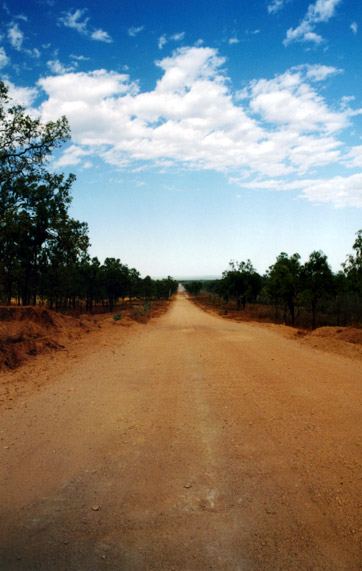
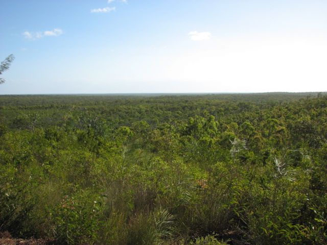
On first glance, at the beginning of the journey, you may be forgiven for thinking that the next 1000km will all be corrugated dusty roads surrounded by bush and trees and not much else.
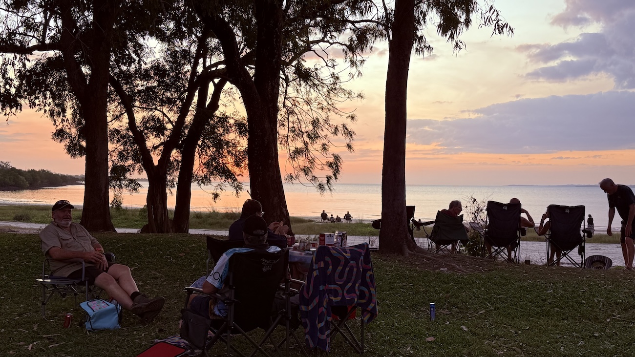
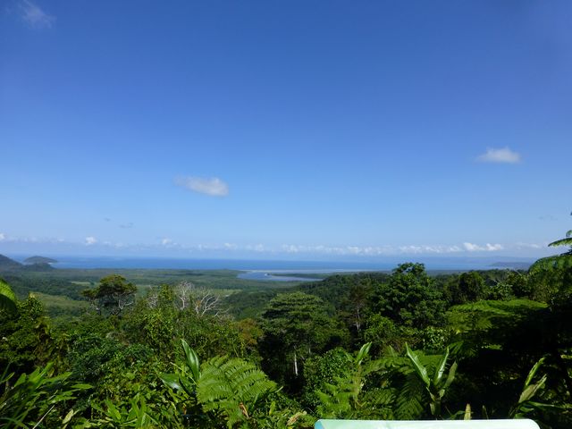
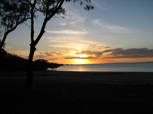
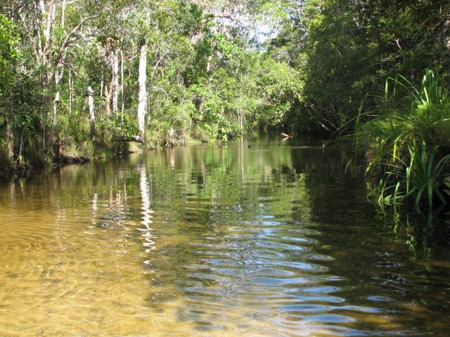
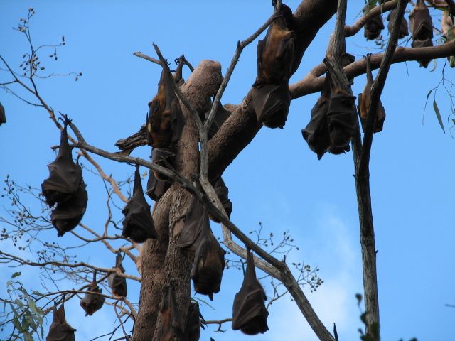
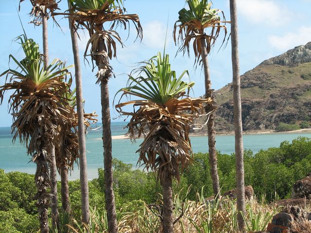
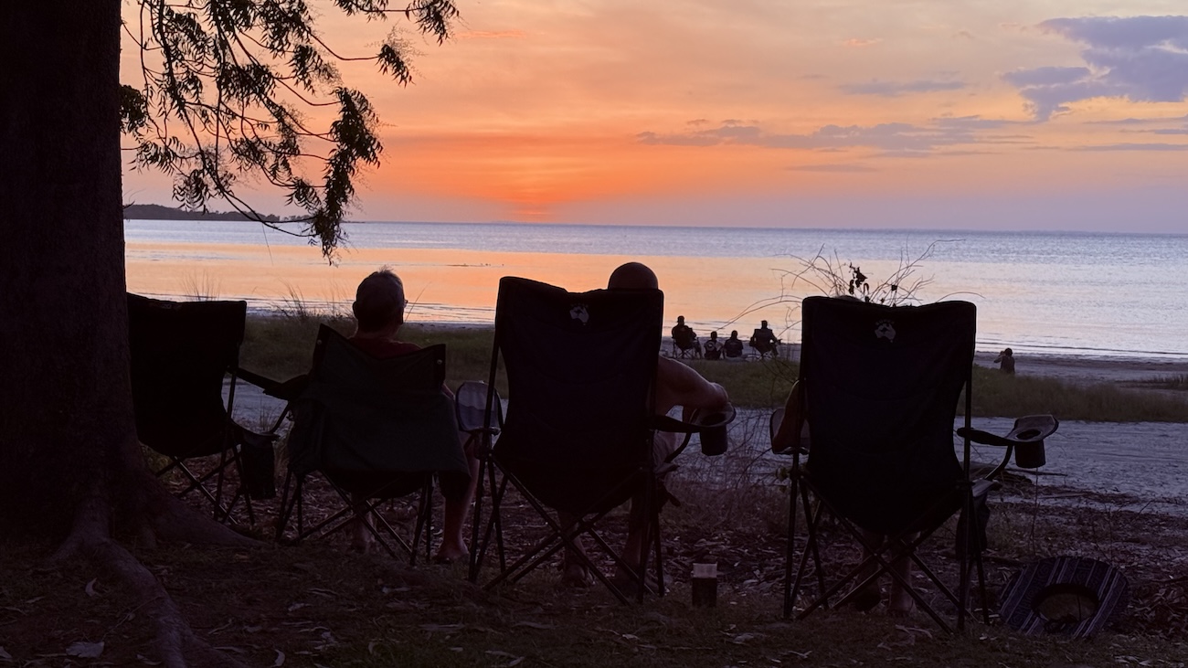
There are however many hidden treasures including: heritage telegraph stations and vast cattle properties, which provide a well earned watering break or overnight stop in the bumpy journey; crystal clear rivers and water holes, perfect for swimming in; beautiful beaches that overlook the Torres Strait Archipelago, which become great places to watch the sun set and every now and then you are surprised by the exotic flora and fauna that keeps popping up when you least expect it.
Cape York is a place where people have wanted to visit for a long time, where its remoteness from the rest of Australia is an attraction in itself.
Inclusions
- Welcome Dinner
- Farewell Dinner
- All National Park permits and all Camping Fees
- Guided Cave Tour with National Parks Ranger
- Western Cape Eco Boat Tour
- Jardine River Ferry charges
- Daintree River Ferry charges
- Toilet facilities at all camp sites
- Bush showers at most camp sites
- Services of a very experienced tour leader and fully equipped escort vehicle
- Satellite Phone, UHF radio and emergency first aid kit carried by tour leader
- Licensed and accredited tour operator


Day 1
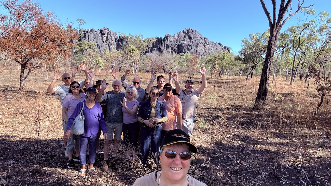
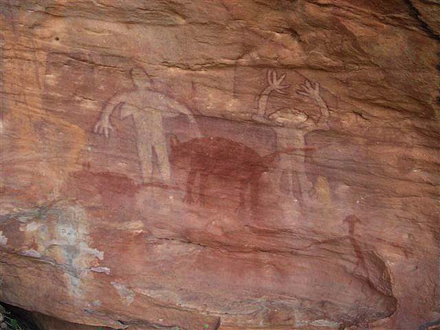
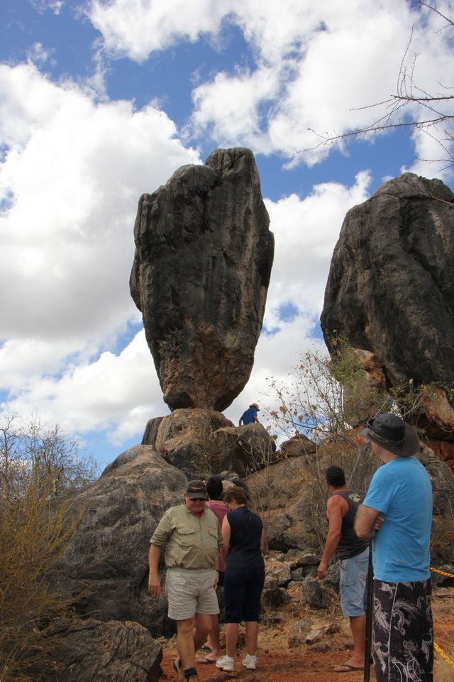
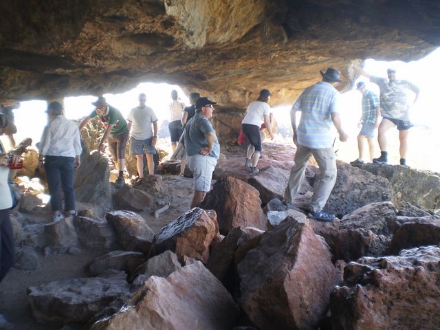
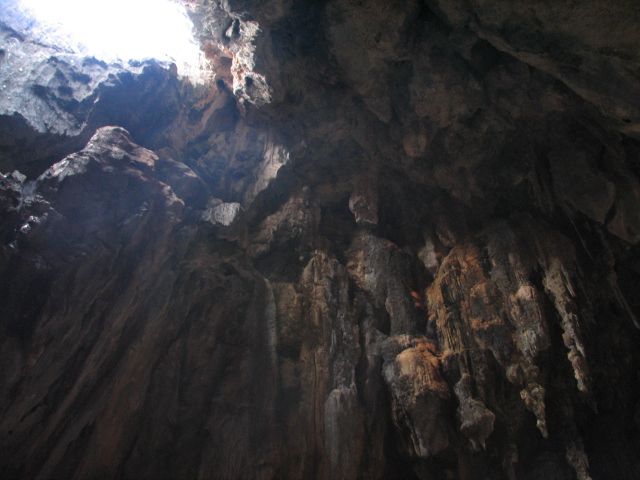
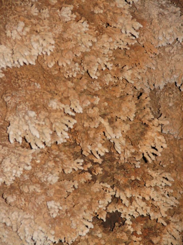
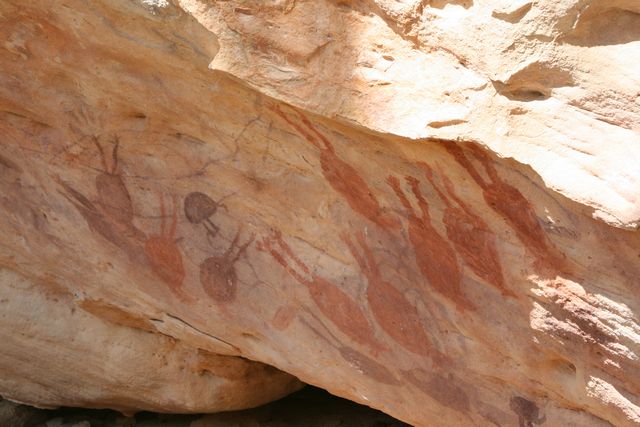
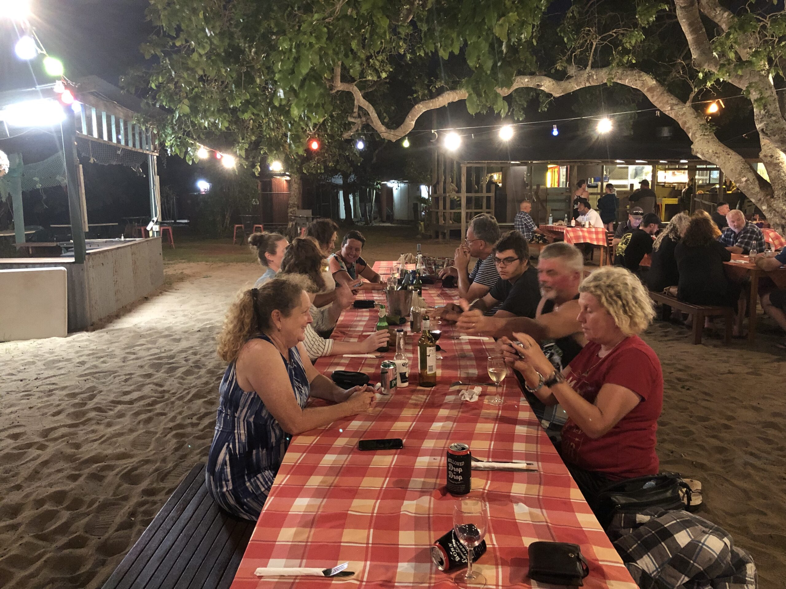
We gather this morning in Cairns for a short meet and greet and then we travel up the beautiful Kuranda Range to Mareeba, which enjoys over 300 days of sunshine each year. Then it’s on to Dimbulah for a morning tea break and soon we head west to historic Chillagoe. This town boasts a stunning mix of outback landscape, mining heritage, aboriginal art sites and fantastic limestone caves. After lunch we are booked on a National Park Ranger guided cave tour. There are many other interesting sites to see around Chillagoe, such as the Arts & Crafts Shop, Balancing Rock, the old State Government owned copper smelters and Tom Prior’s Ford Museum. In the evening we sit down to our Welcome Dinner, which is provided for us and we get to know each other better. After
dinner we set off on our Observatory Tour (optional extra) which rounds off a very busy first day.
Day 2
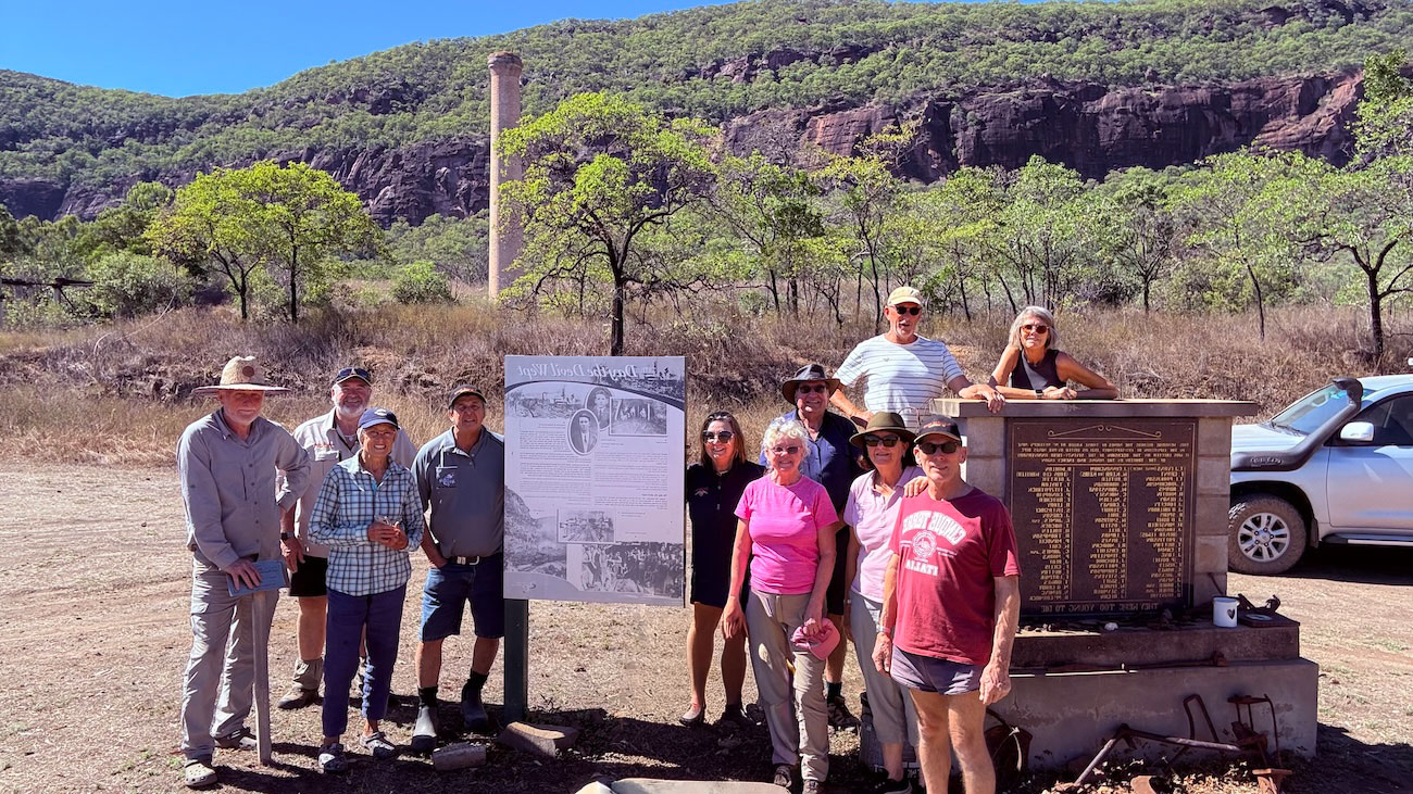
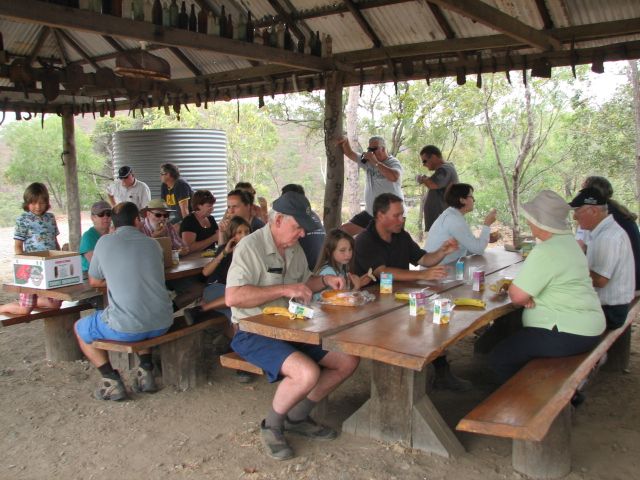
This morning we pack up our campsite and set off, leaving Chillagoe behind in the distance. After lunch it’s off to the old ghost town of Mt Mulligan, where we explore the abandoned coal mine site where 75 miners lost their lives in a massive underground explosion in September 1921. The old cemetery contains the graves of those tragically killed that day. We then travel north on some challenging 4WD tracks through Kondoparinga Station and arrive in the afternoon at a delightful crossing on the Mitchell River. It’s only a short distance before we are on the tar sealed Peninsula Development Road where we soon arrive at Palmer River Roadhouse and set up camp. A hearty meal can be purchased at the Roadhouse and this is a fitting end to another interesting day.
Day 3
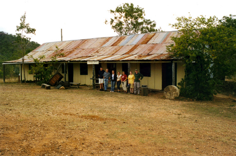
We break camp this morning and leave for Lakeland and on the way we stop at the James Earl Lookout. We soon head north west towards Laura where we visit the Split Rock Aboriginal art site and the Quinkan & Regional Cultural Centre. After lunch we explore the old Railway Bridge to Nowhere and the old Laura lock up. Native police from Laura were sent south to hunt the Kelly Gang in the 1870s and they were present at Ned’s last stand in June 1880 at Glenrowan. Our journey takes us on to Musgrave Roadhouse which was originally built as a telegraph station in 1886. Here we see the well maintained airstrip with the big mango tree at the end of it, shading the lonely graves of some of the pioneers of the Cape. We enjoy our camp here for the night which includes a hot shower which helps wash away the red dust from the day’s travel. A meal can be purchased here if required.
Day 4
Day 5
Day 6
This morning we can do some shopping and top up with fuel before we leave Weipa. Our journey today takes us through the Batavia Downs cattle station as we travel east again and join the Telegraph Road not far from the Wenlock River. This river crossing is a lot safer these days with a concrete bridge now spanning, what was a very challenging water crossing prior to its construction
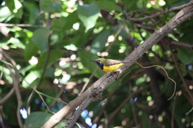
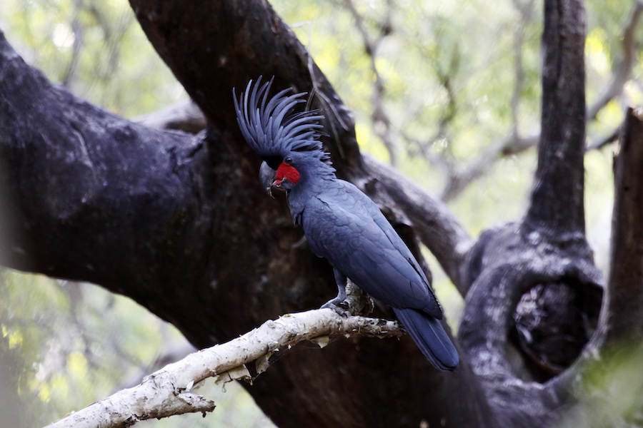
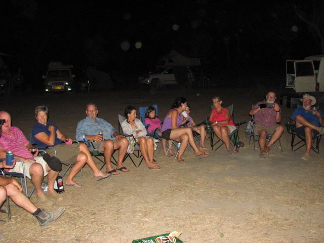
in 2001. On the northern bank of the Wenlock we will camp at the historic Moreton Telegraph Station with its majestic old mango trees. We will see the old vehicle pontoon that was used before the bridge was built over the river and the high water levels from previous floods. We can take a stroll along the banks of the river and look for the 110 bird species that have been noted in the vicinity, and many, including the Palm Cockatoo and Magnificent Riflebird, may be observed along the water’s edge. Agile Wallabies often feed in the grounds while the Common Spotted Cuscus (a type of possum) has been seen feeding on the leaves of Moreton’s riverside trees. A walking track along the northern bank of the river and through the adjacent bushland will introduce us to some of the more dominant and interesting species of the local flora. The track takes us to Cave Creek where the bedrock has been eroded to form a natural bridge. A pleasant evening around the fire rounds off another fun day.
Day 7
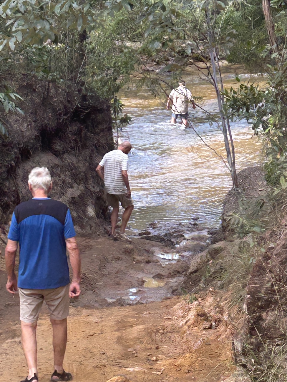
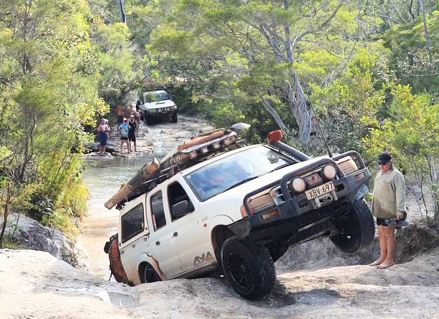
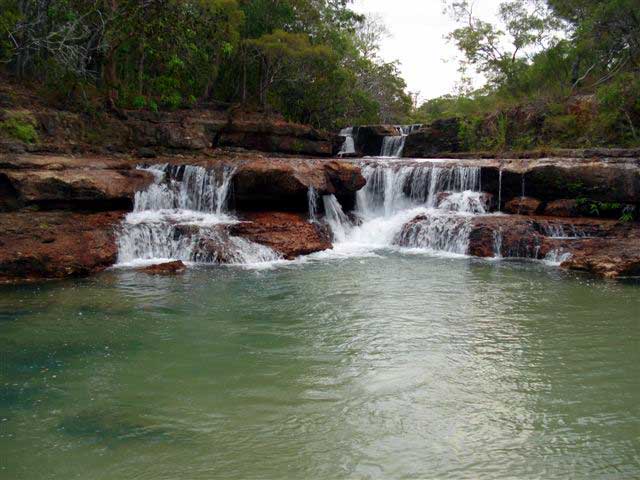
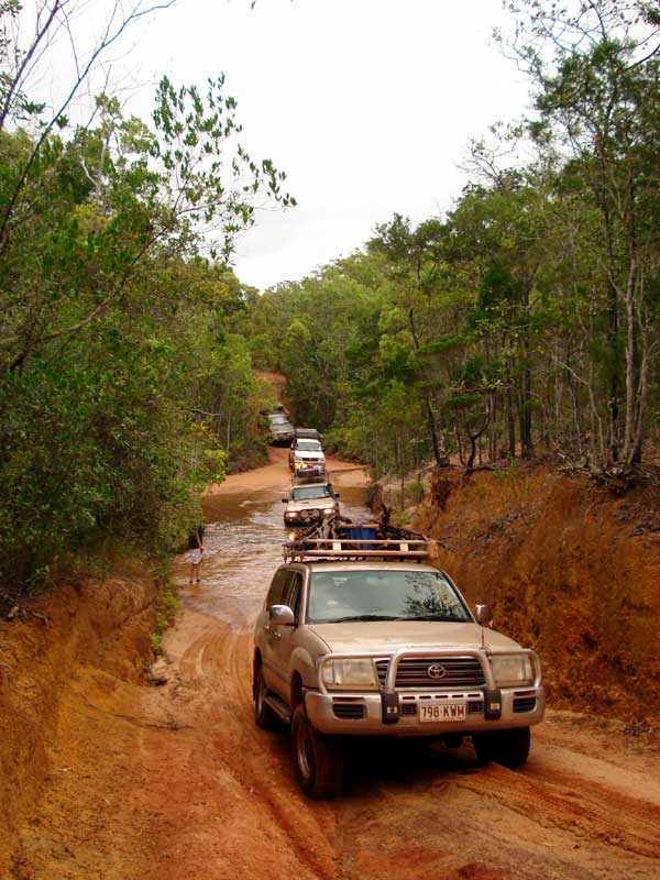
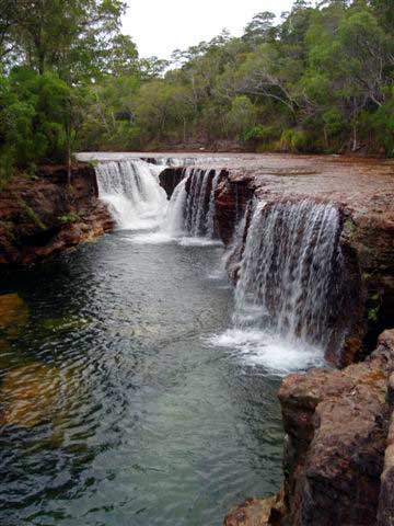
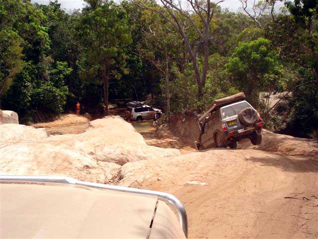
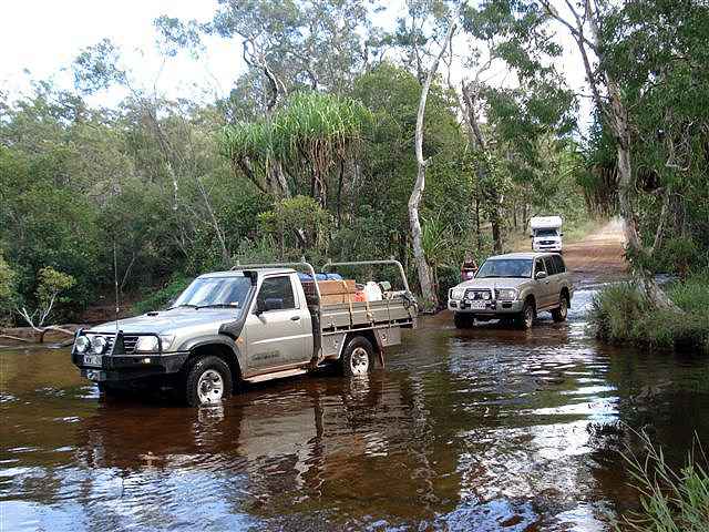
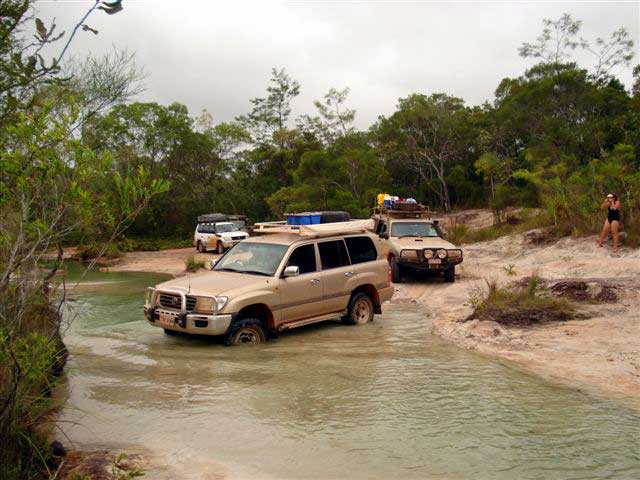
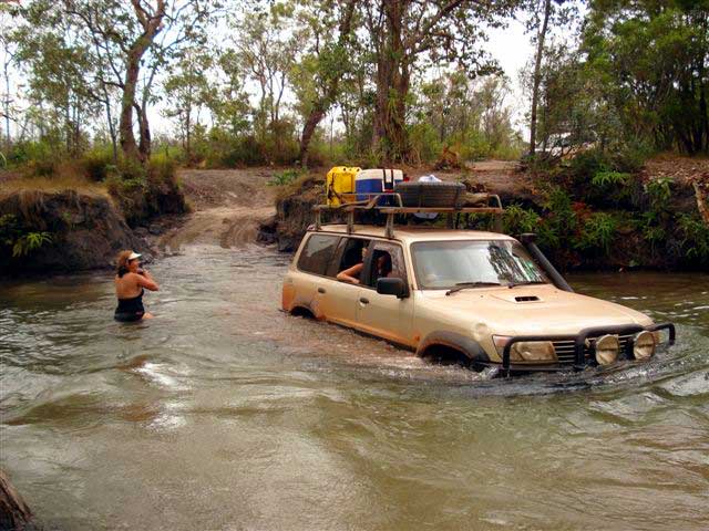
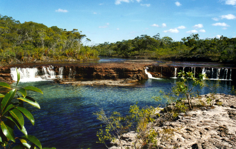
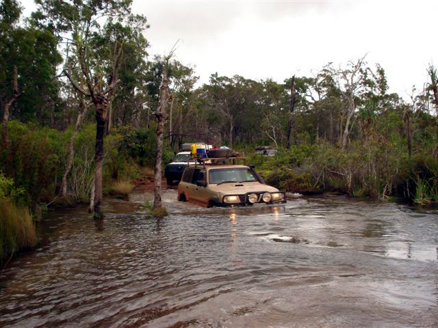
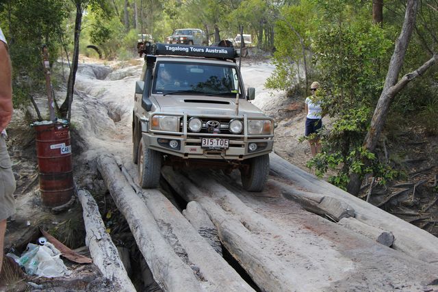
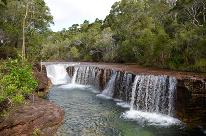
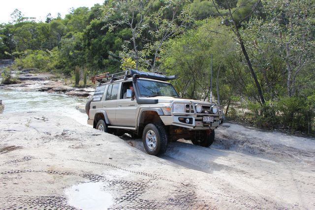
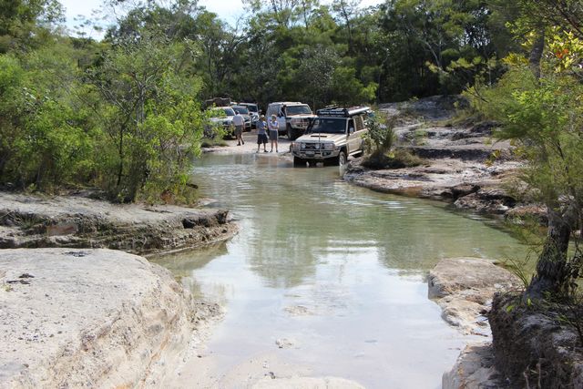
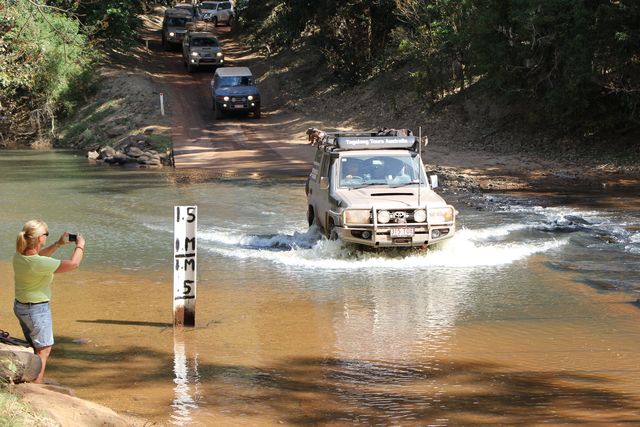
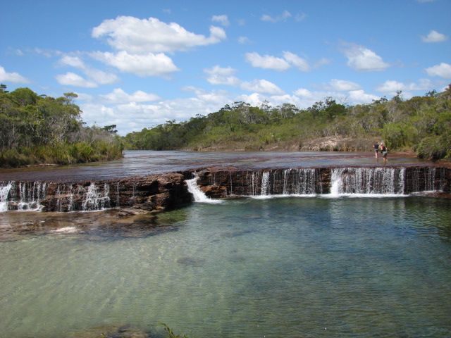
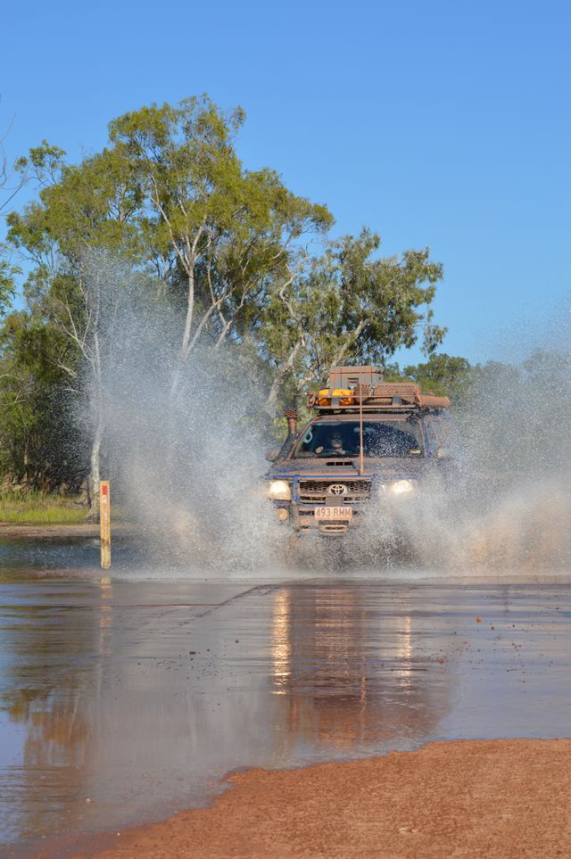
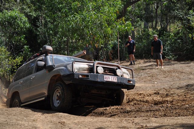
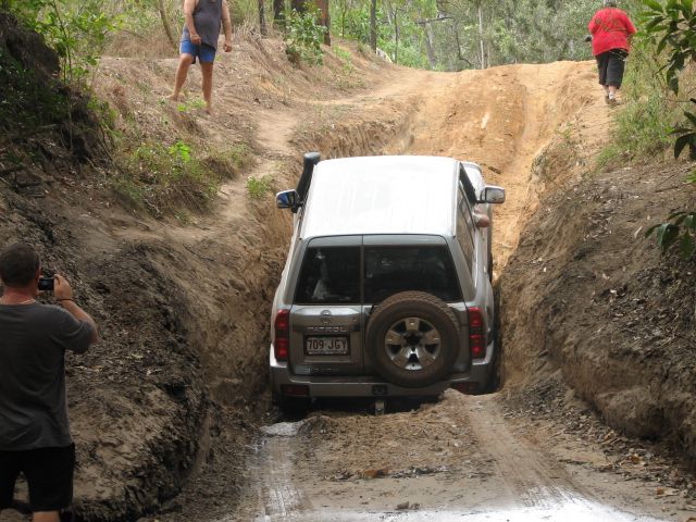
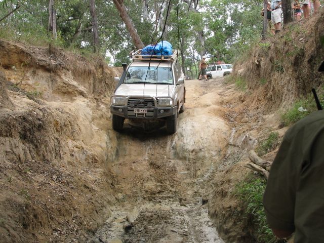
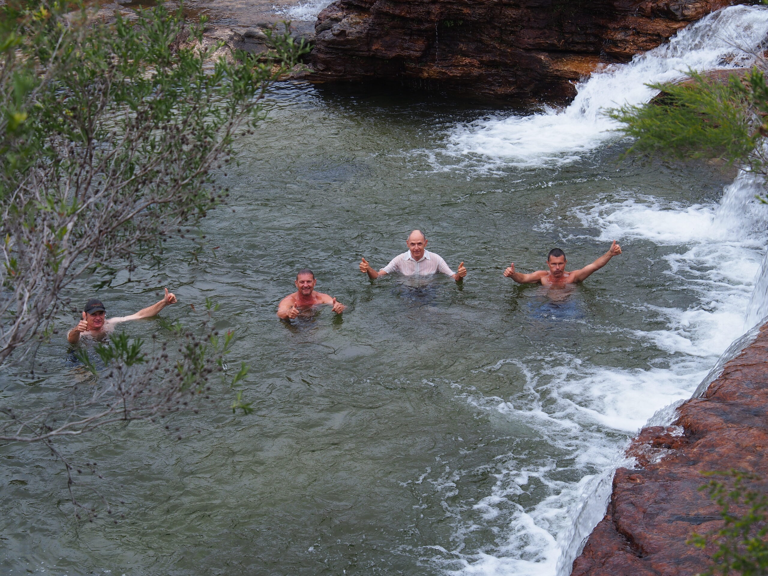
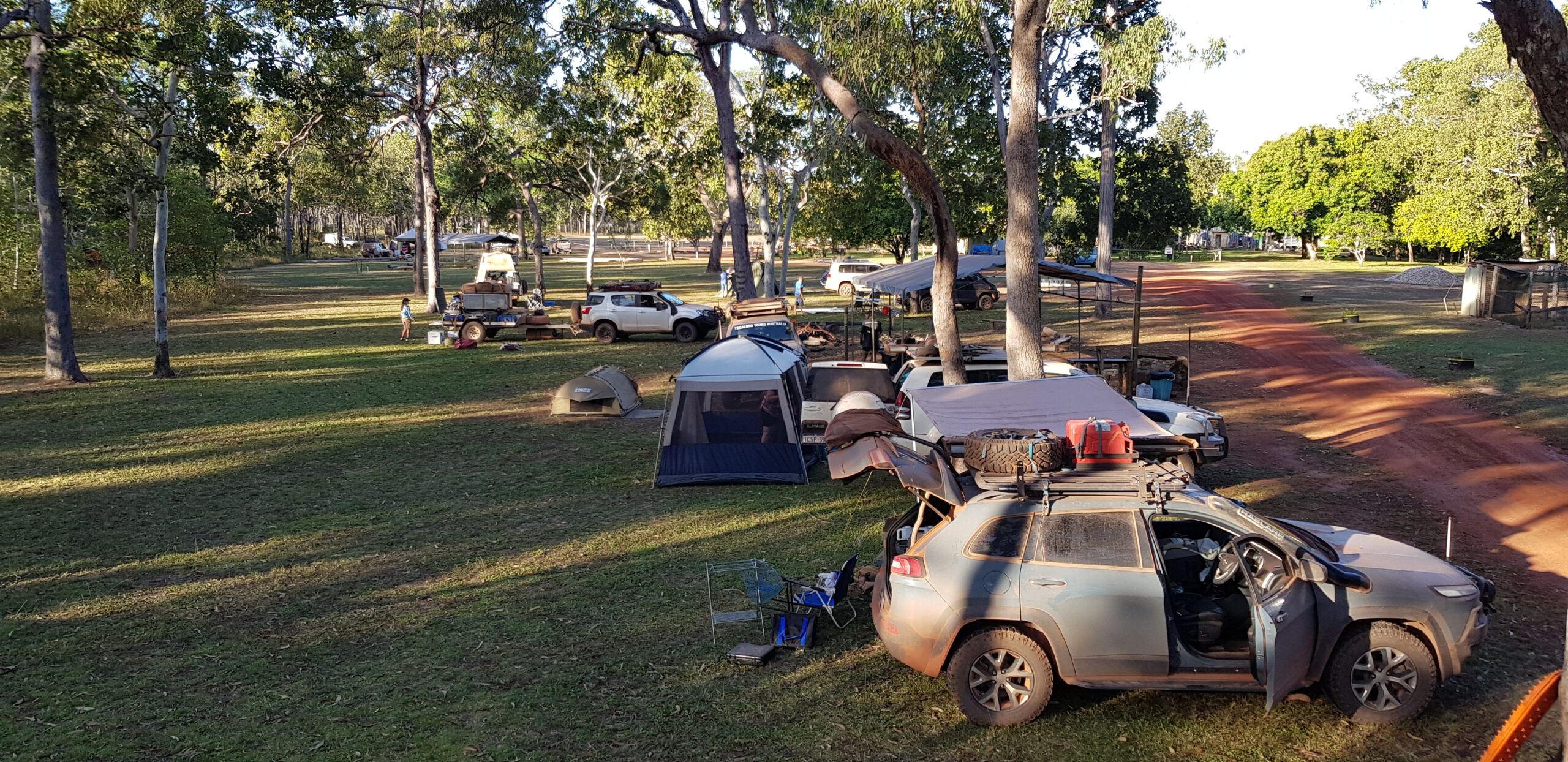
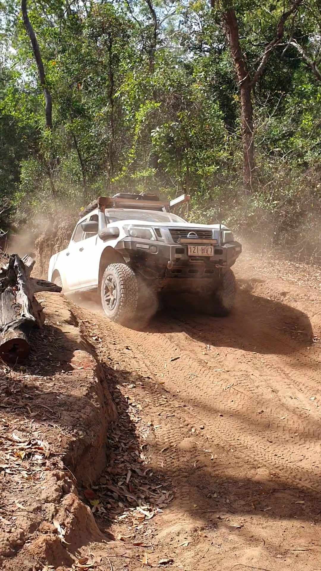
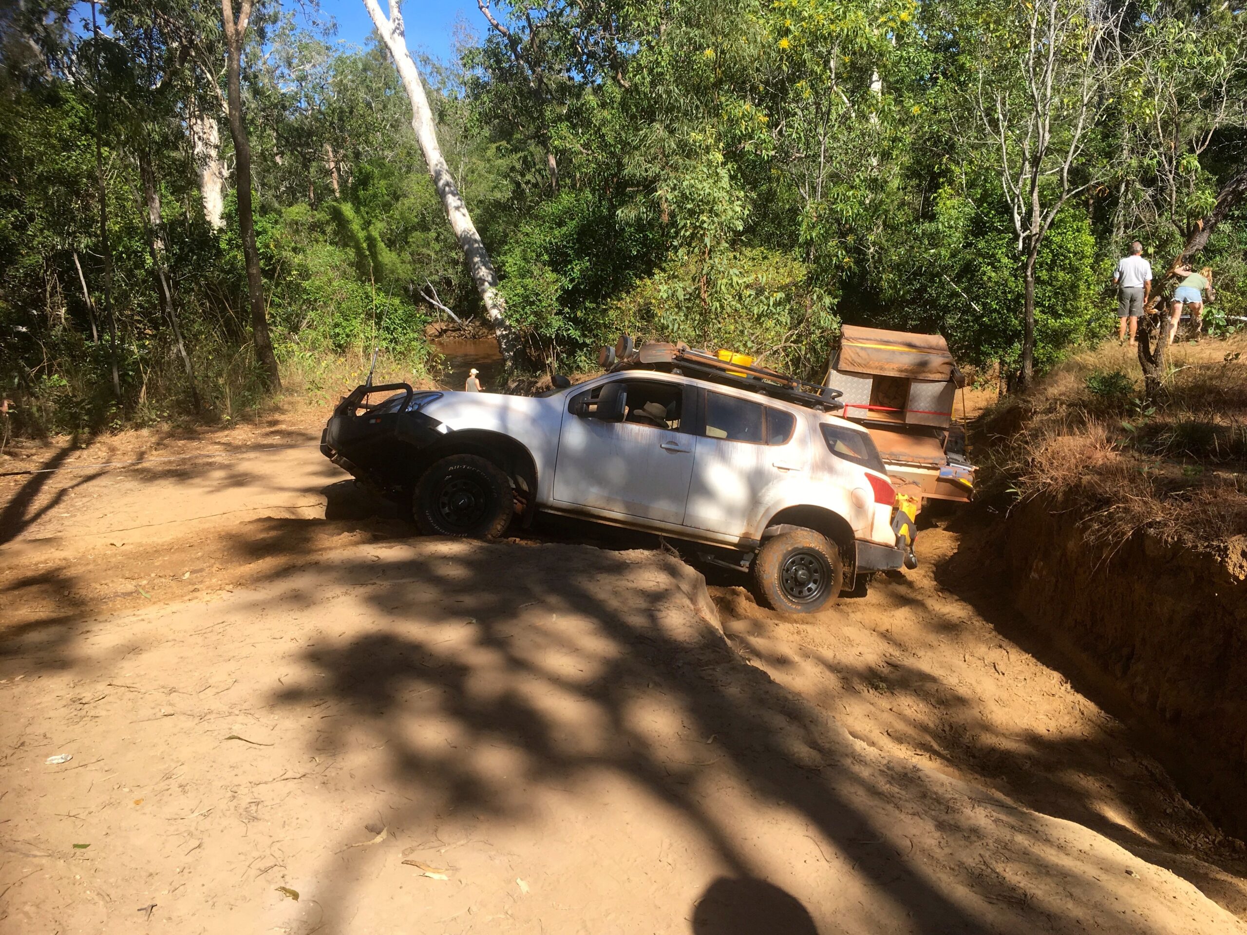
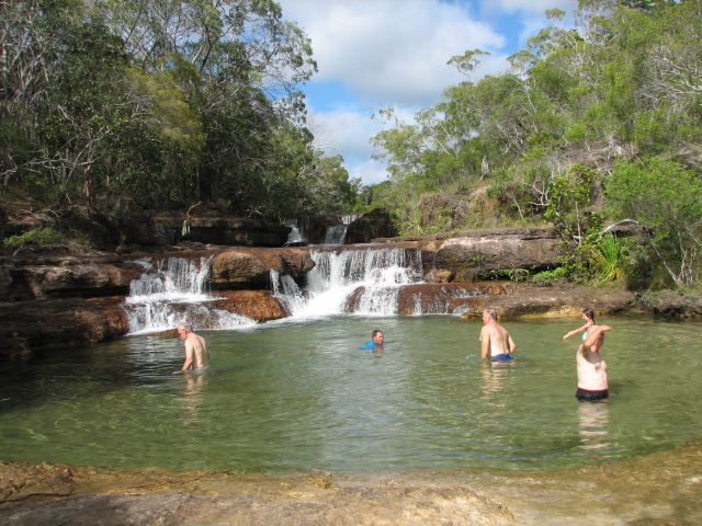
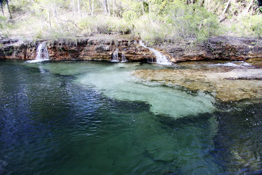
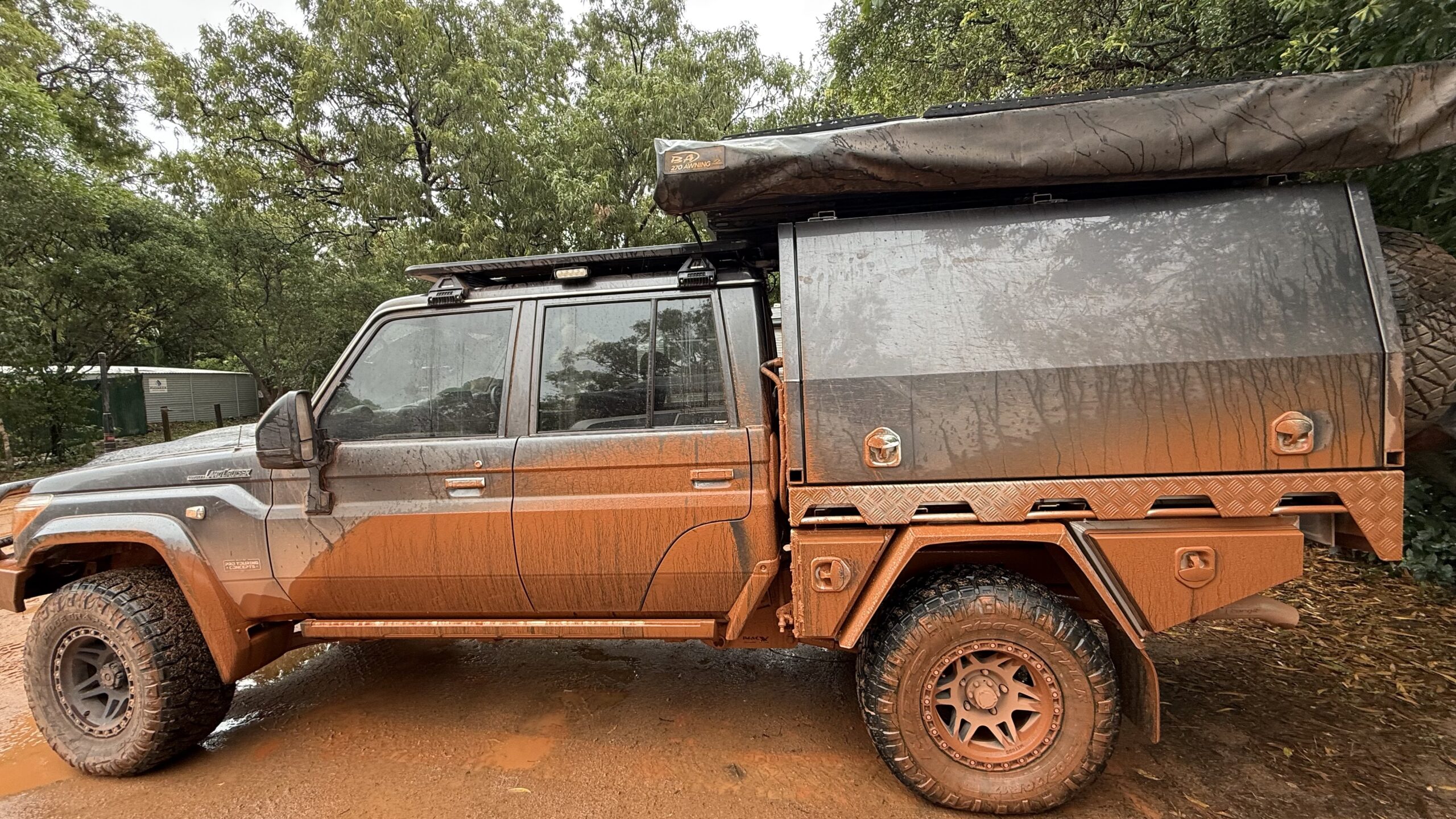
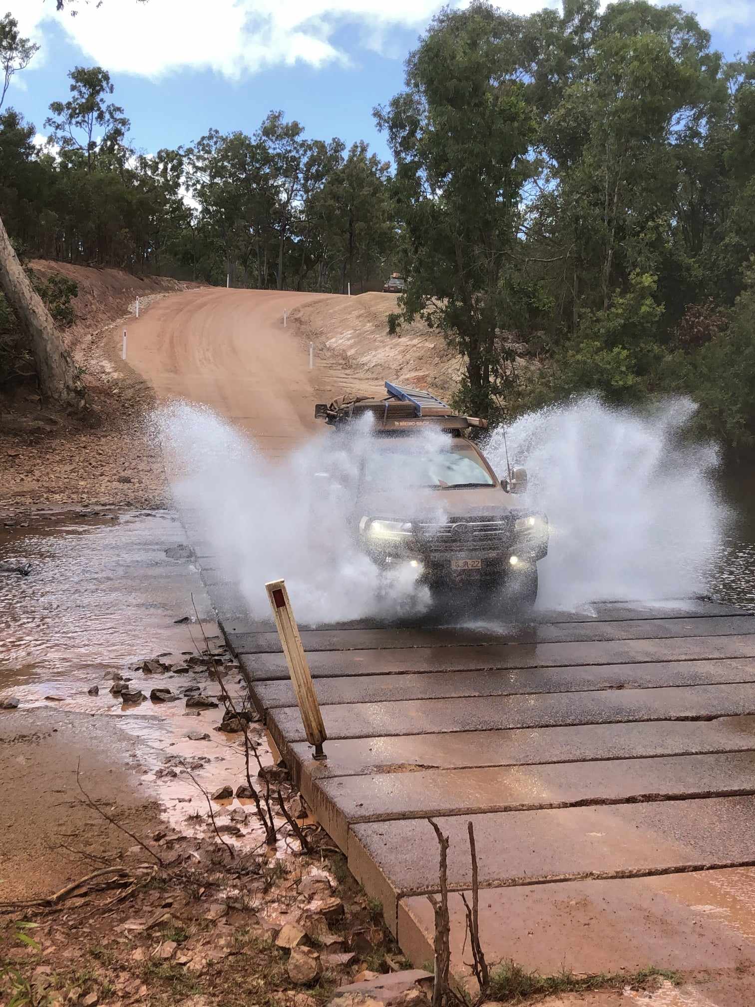
The first part of our adventure today takes us to Bramwell Junction where the Old Telegraph Track branches off Bamaga Road and the real 4WD adventure of a Cape York trip begins. Only where it’s safe to do so, we will negotiate several water crossings over the various creeks and rivers. Some have particularly steep approach and departure angles. We stop for a lunch break along the OTT and take in the wonderful diversity of the flora and fauna of the Cape. Our destination today is Eliot Falls. It’s a beautiful spot where we can enjoy a refreshing swim and wash the dust away in the pristine waters of Canal Creek or Eliot Creek. Our camp site is in the camp grounds at the falls, where we can light a fire, if we remember to collect some firewood along the way.
Day 8
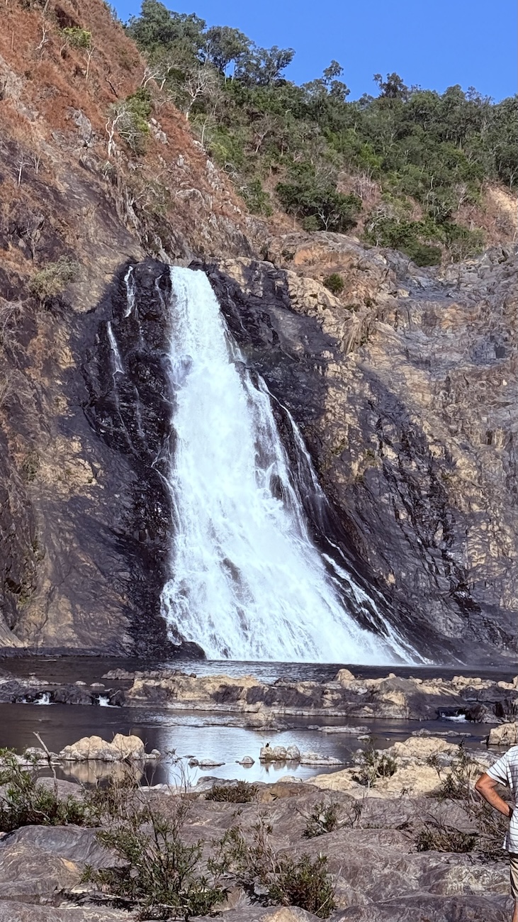
This morning we won’t have to pack up our tent and camping gear as we have the luxury of a free day. There is no driving scheduled and here at Eliot Falls we will have plenty of time to soak up the atmosphere of one of the most delightful camp sites on the Cape. Twin Falls and Indian Head Falls are both very popular swimming holes and many hours can be spent in these crystal clear pools of fresh water. A very relaxing time spent here will have us well and truly refreshed for the following day’s adventure.
Day 9
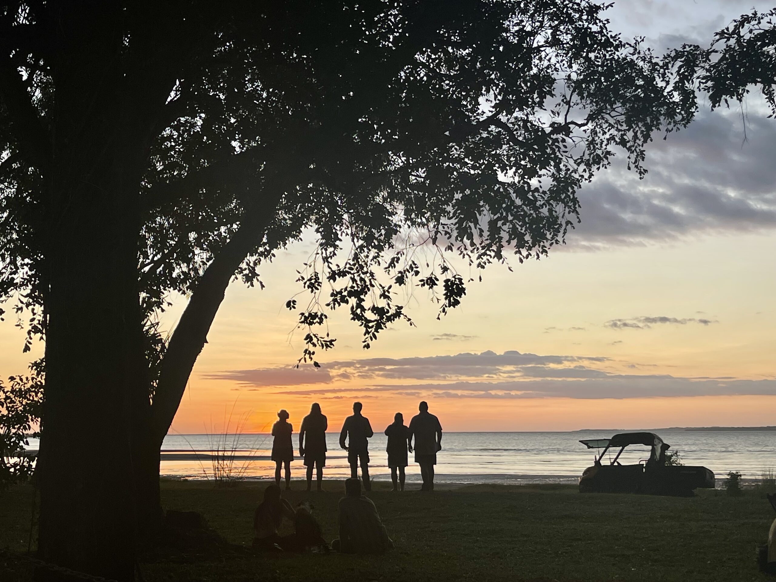
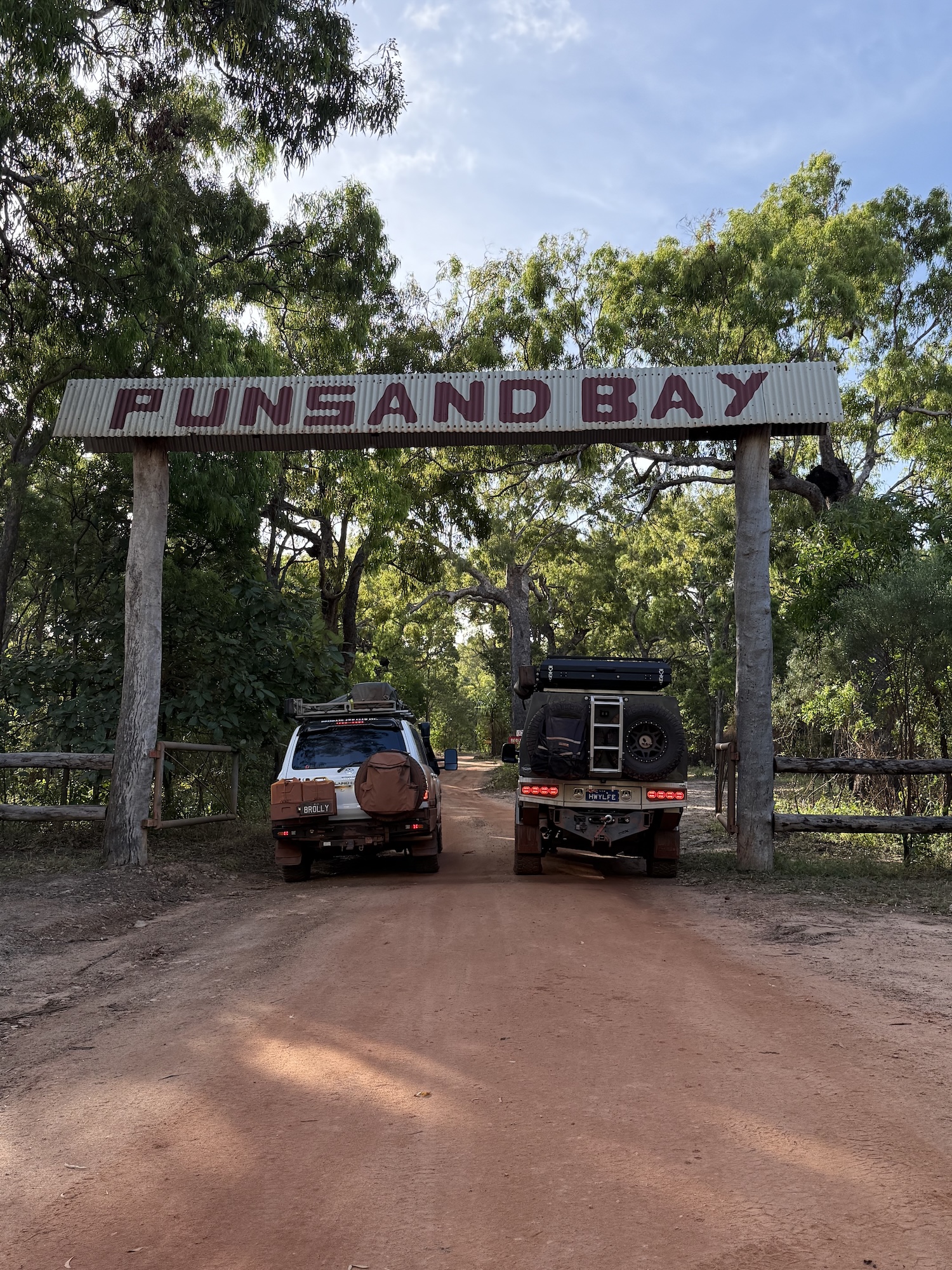
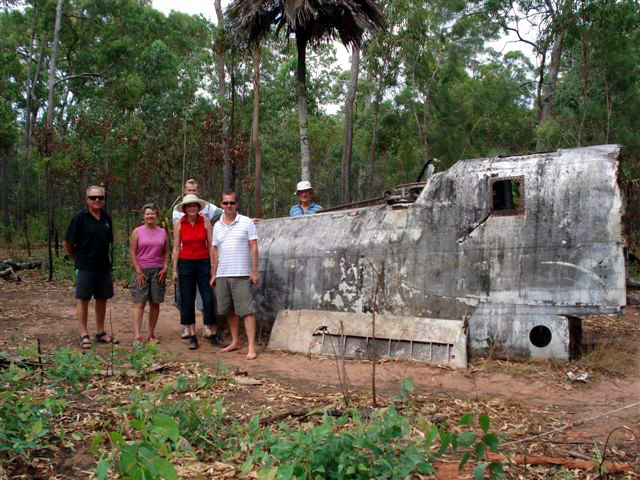
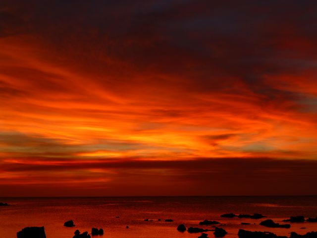
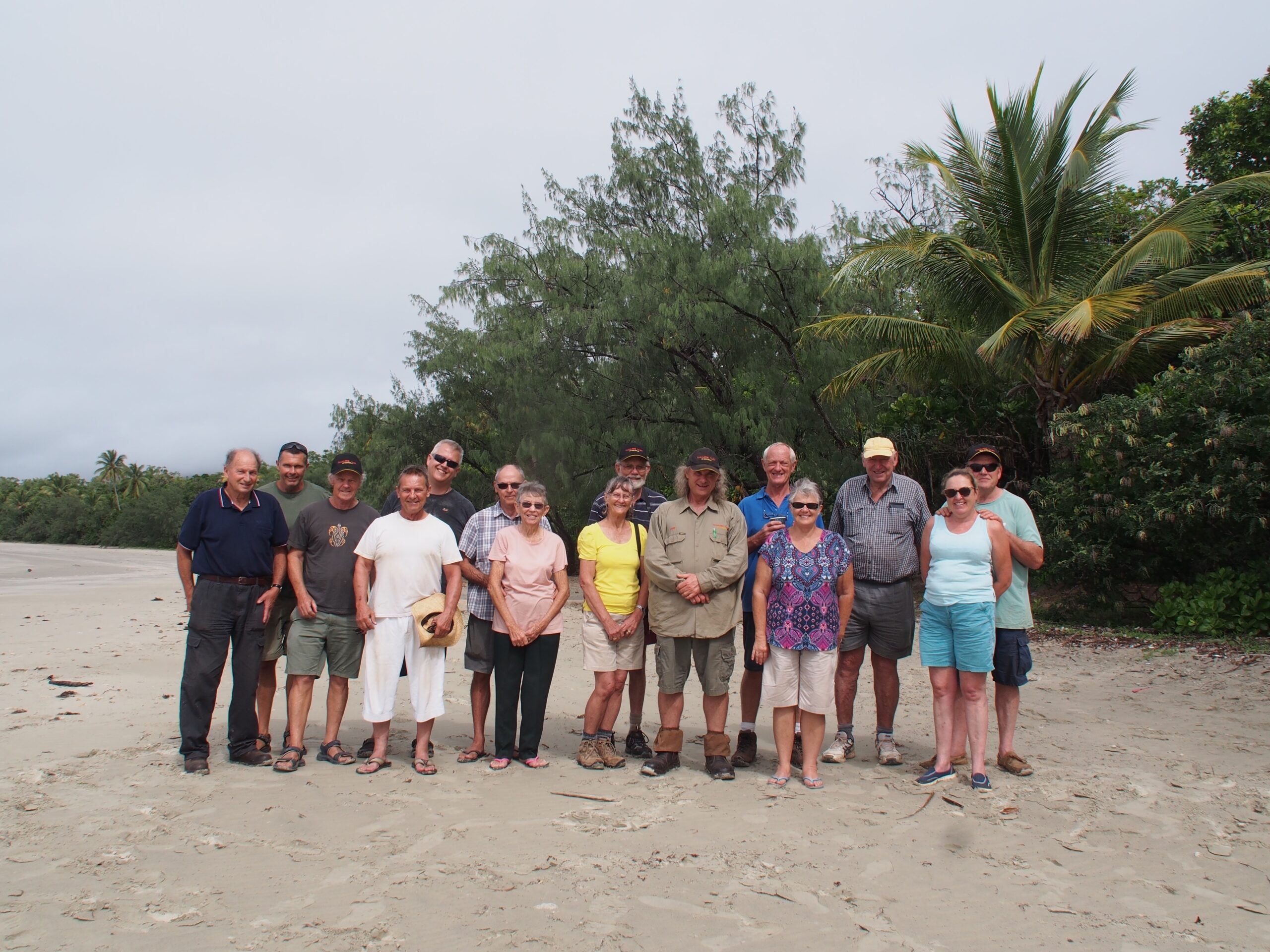
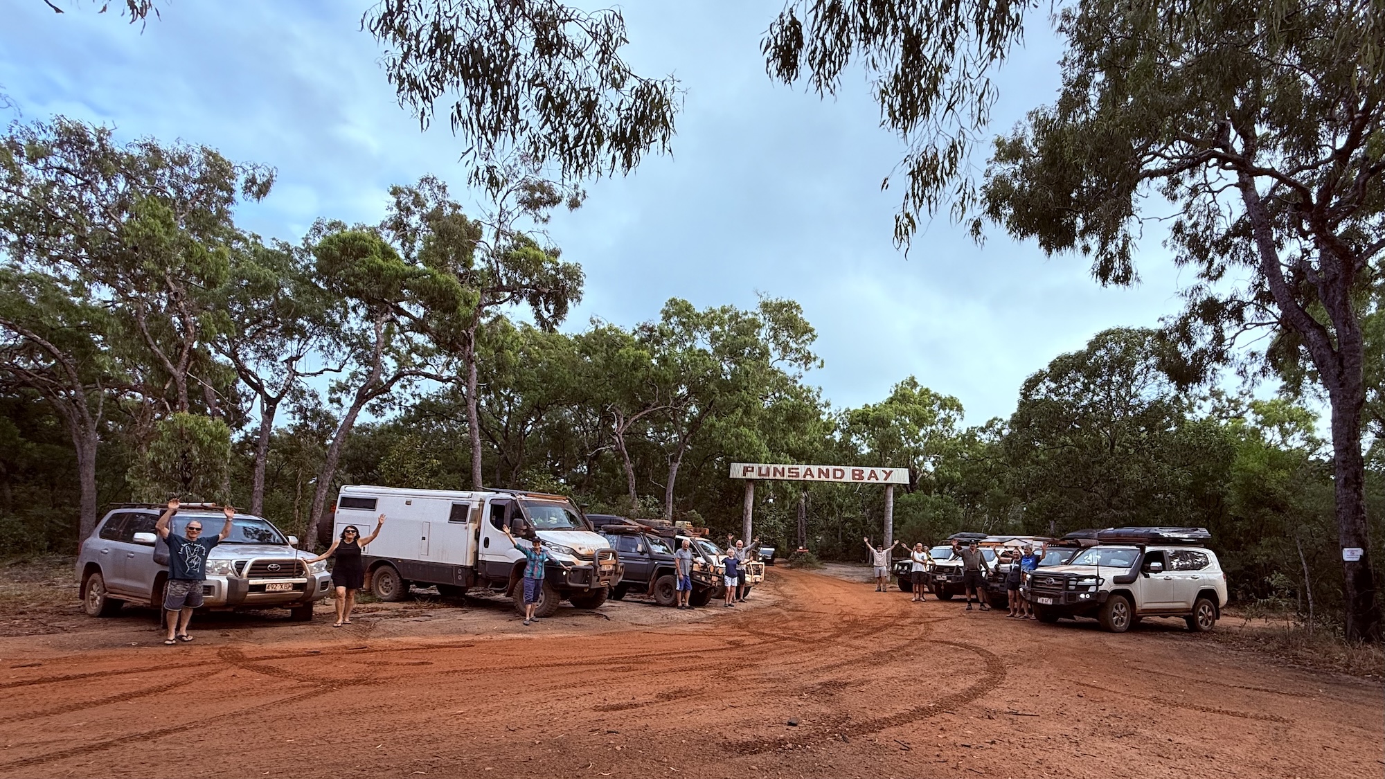
Today we make our way to Punsand Bay. First, we must cross a few creeks on our way to the mighty Jardine River. Fortunately, we can get to the other side of the river via the vehicle ferry which operates only during the daylight hours. On the way we will visit historical WWII site where a DC3 and Beaufort Bomber found their final resting place in the area. Today we have time to do lunch, a spot of shopping and tour of NPA and fuel up if required. We arrive at Punsand Bay and set up camp. It’s a lovely spot where we will be relaxing for the next few days. A short walk takes you to the beautiful white sandy beach where the sunrises and sunsets are a “must do” for all the travelers who make it up to this magic part of the world.
Day 10
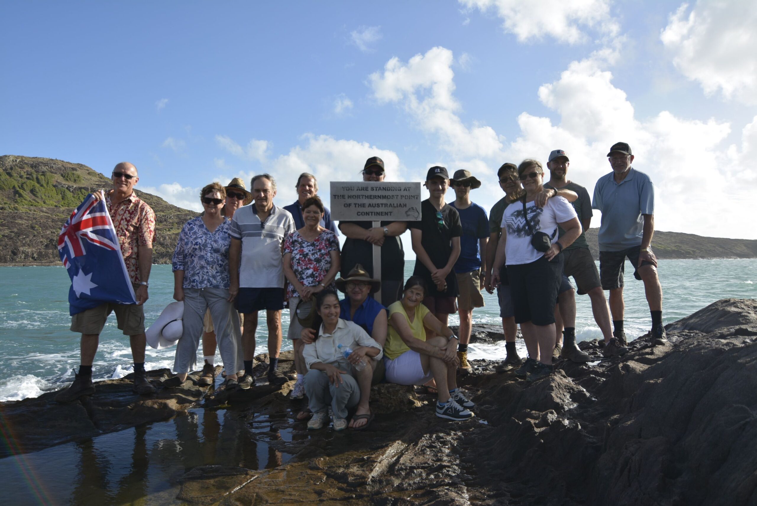
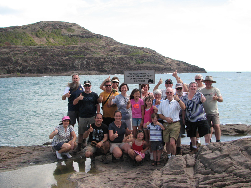
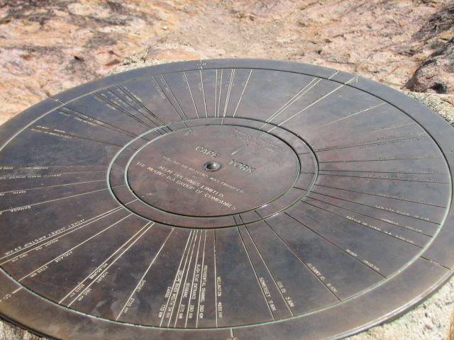
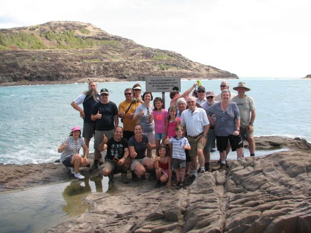
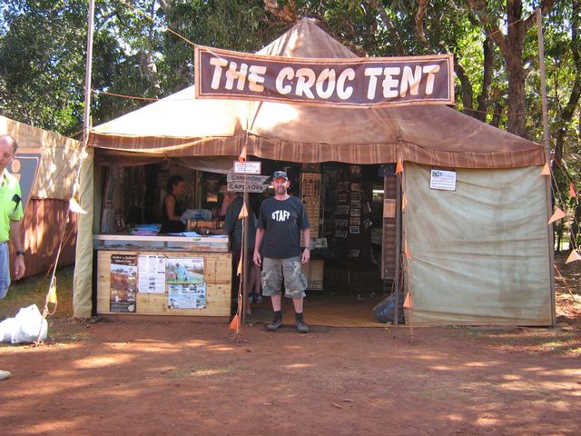
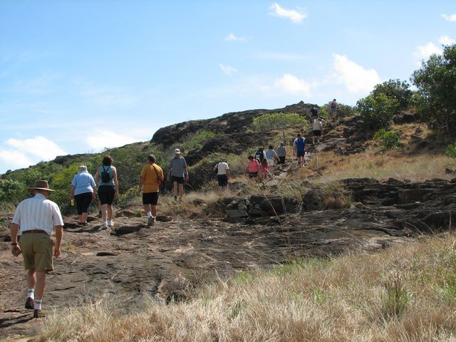
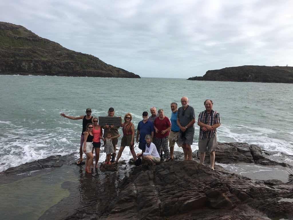
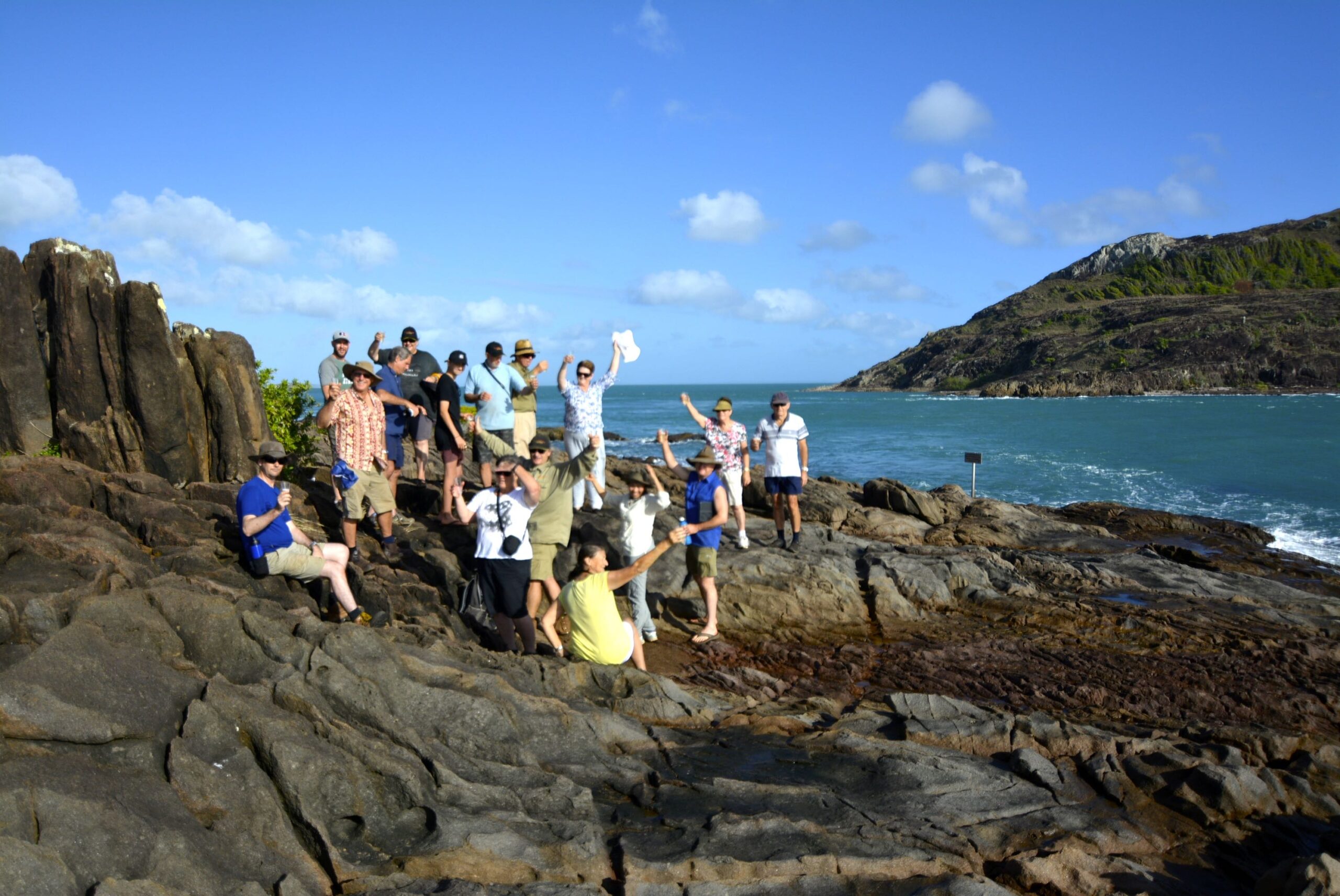
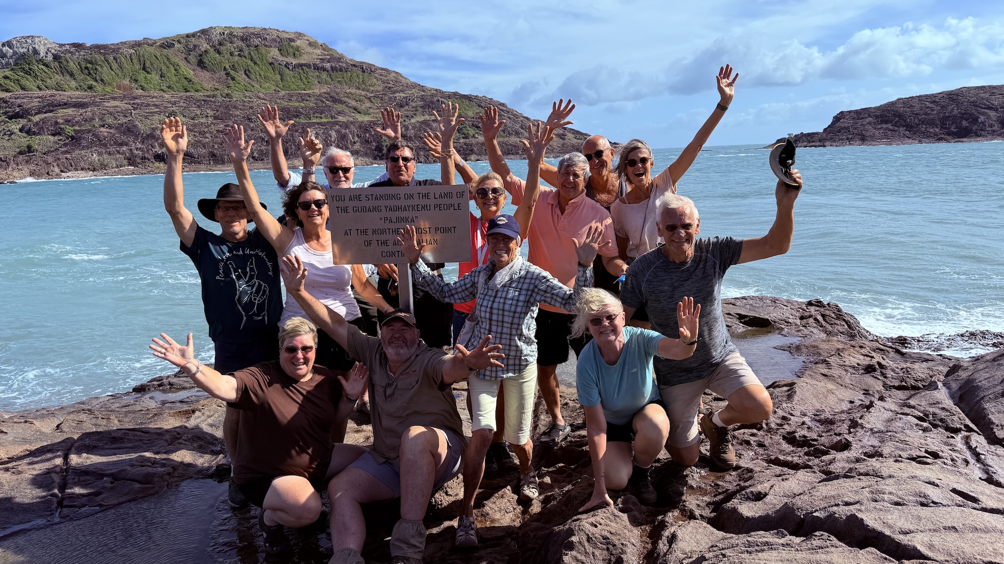
Today’s the day we get to stand on the most northern ‘Tip’ of mainland Australia. On the way, we visit the Croc Tent, where souvenirs and refreshments are available on the roadside at Lockerbie. Finally, we get to walk the last few hundred metres to the very top of the Australian continent. After our walk, we head to the historic ruins of the Somerset Homestead. This is the site where the Jardine family lived in the late 1800s and just down a small sandy track near the beach, we find the graves of Frank Jardine and his wife Sana. We stop for lunch in a lovely shady spot near where the old jetty once stood. On the way back to camp we see the WW2 wreck of an old DC3 aircraft which crashed in May 1945, with tragic results. We also investigate another WW2 wreck, a Beaufort Bomber near Jacky Jacky Airport. This afternoon is free after that, so time can be taken to rest and enjoy the beach. This is a great place to unwind after the challenging trip north. Also, a meal can be purchased here at the restaurant if required.
Day 11
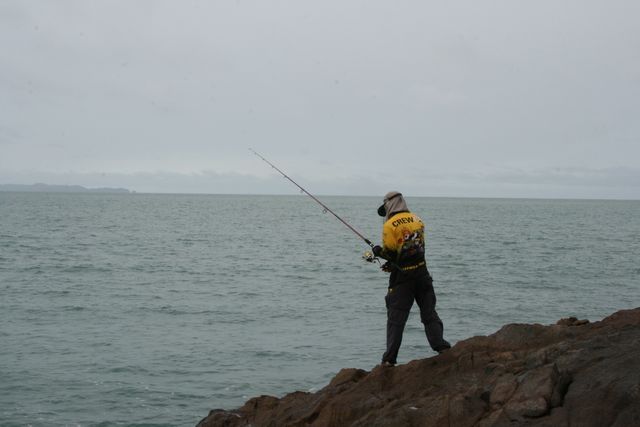
This is another free day to do whatever we choose, although we recommend a ferry trip over to Thursday Island and Horn Island which can also include guided bus tours and lunch. There is a good deal of historic significance in the Torres Strait with the Green Hill Fort and the All Souls Quetta Memorial Church on TI, and the WW2 Museum on Horn Island. Hopefully you have pre-booked your activities for today, we strongly advise to book early in order to avoid disappointment. When booking, remember to ask for your senior’s discount if applicable. As well, we are able to provide you with the contact details of fishing charter operators who can take you out on a day trip to one of the best fishing spots in Australia. The beautiful aqua coloured waters around the Straits are sure to stay in our memory forever. Dinner can be purchased at the restaurant if required.
Day 12
We are well and truly refreshed today as we pack up camp and begin our journey southwards crossing the Jardine River once again on the ferry. We travel to the beautiful Fruit Bat Falls this morning for a refreshing swim. We stop at Kennedy lost camp 84 monument. After lunch at Bramwell Junction Roadhouse we head back to the main track and set out for Bramwell Station where we will camp for the evening. The Station has a licensed bar and entertainment is provided as well. Also, a hearty meal can be purchased here by our hungry travellers if required.
Day 13
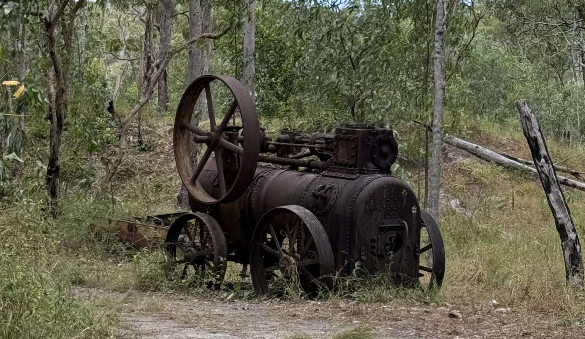
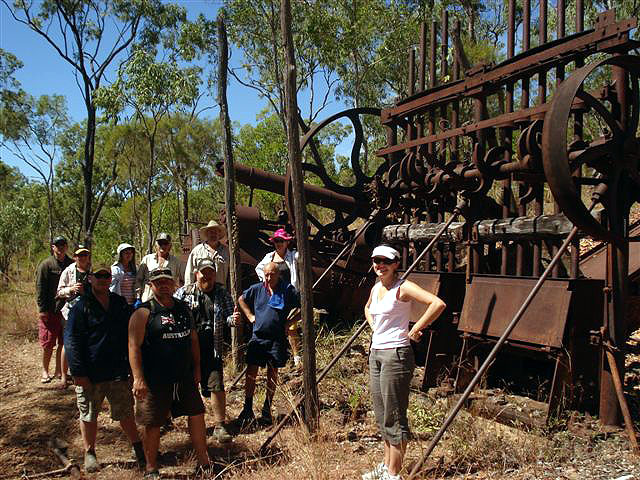
Our journey today includes a short detour out to the east on the Lockhart Road, to the historic Batavia Goldfields. It’s here we will see the rusting old mining machinery that was once used to process gold here, well over a century ago. We camp tonight at the Archer River Roadhouse in their shady camp ground and dinner can be purchased at the licensed cafe if required. We can
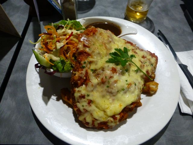
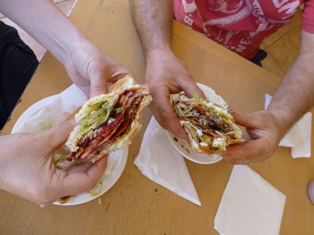
recommend their famous burgers as the best on the Cape. Many of our travellers have enjoyed their quality over the years.
Day 14
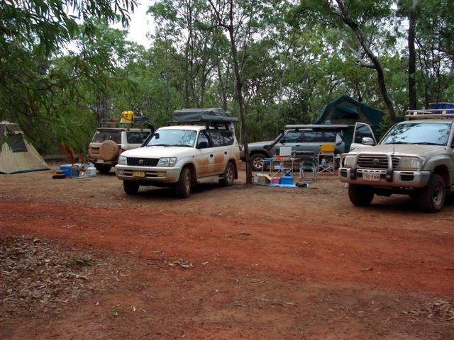
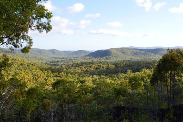
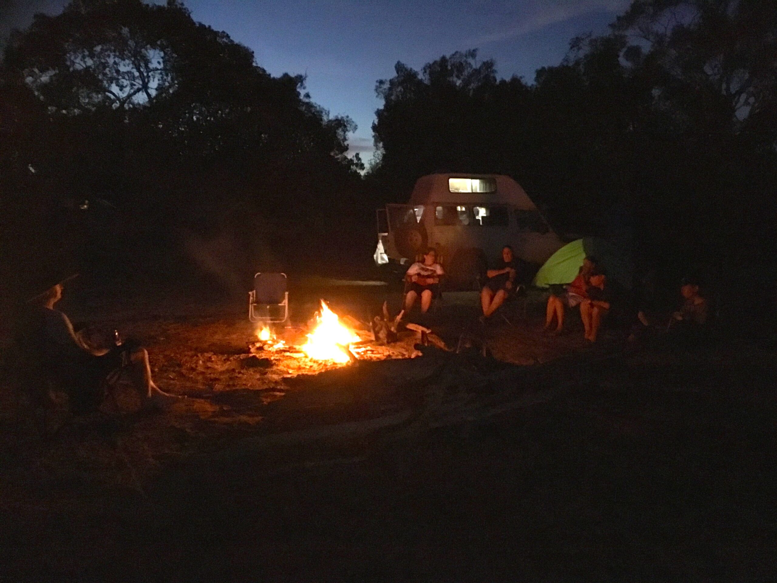
Today’s part of our journey is a direct run south towards Musgrave Roadhouse where it’s an ideal place to refuel and freshen up before we head east again, this time into Lakefield National Park. Our trip takes us into the second largest National Park in Queensland which covers approximately 5,500 sq kms. It features historic sites, 4WD tracks, plentiful wildlife, diverse vegetation, large rivers and extensive wetlands. Many of these are fringed by tall paper barks and thick rainforest. Soon after entering the Park, we stop at a lily covered billabong, where we can spot some of the spectacular birdlife that lives here, including brolgas, jabiru, magpie geese, egrets, parrots and finches. We collect our firewood along the way and at Kalpowar Crossing, we set up our camp on the Normanby River with a crackling fire for company. The sounds of the night in this peaceful place are sure to put us straight to sleep after our dinner.
Day 15
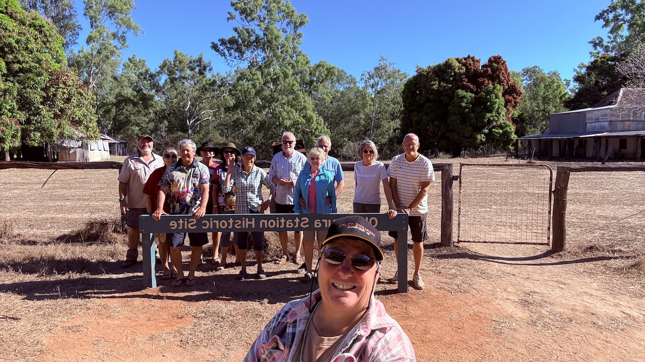
Today we pack up and break camp and set off for Old Laura Station, which had its beginnings in the cattle industry dating back to the 1870s. The homestead and several of the out buildings are still pretty much intact and it is a great place to get a close look at how our pioneers lived in the bush. On our way along Battle Camp Road, just a few kilometers before we hit the bitumen, we stop at Isabella Falls and see another crystal clear mountain stream on our way in to Cooktown. The lush rainforest indicates that we are approaching the coast and soon we are in the town named after the famous British explorer who mapped our eastern coastline 250 years ago. We arrive in the afternoon and make our way to our camp site and set up.
Day 16
We have today to ourselves in Cooktown and this gives us the opportunity to explore the many places of interest here including the site where the HMB Endeavour was beached for repairs in June 1770. We can take a leisurely stroll around the town and enjoy the relaxed charm of the place. The botanic gardens, the arts and craft shop, the history centre, the Croc Shop, the beautifully restored
bank buildings, and the spectacular Grassy Hill Lookout, are all well worth seeing. Dinner can be purchased here in Cooktown if required.
Day 17
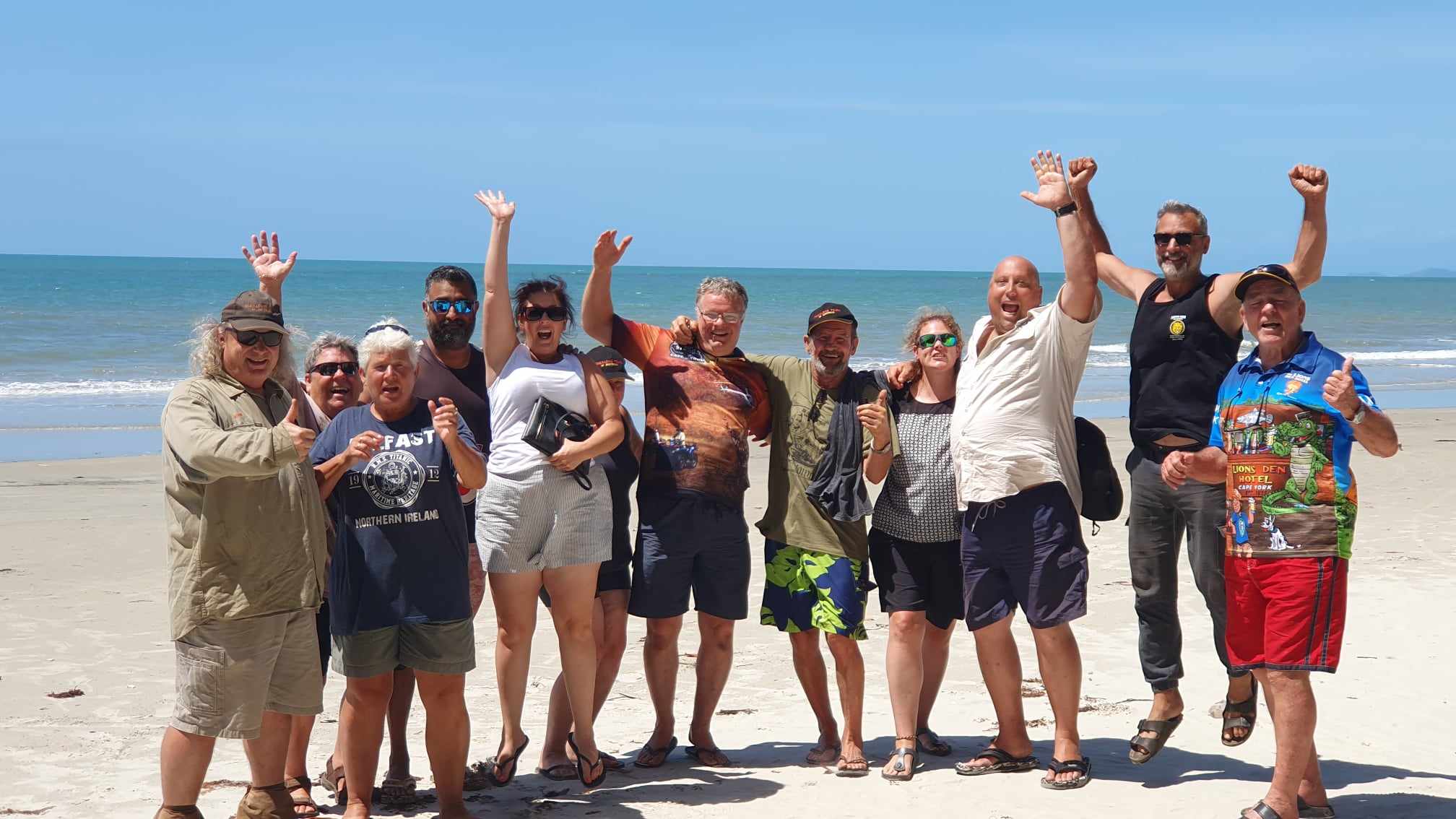
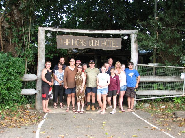
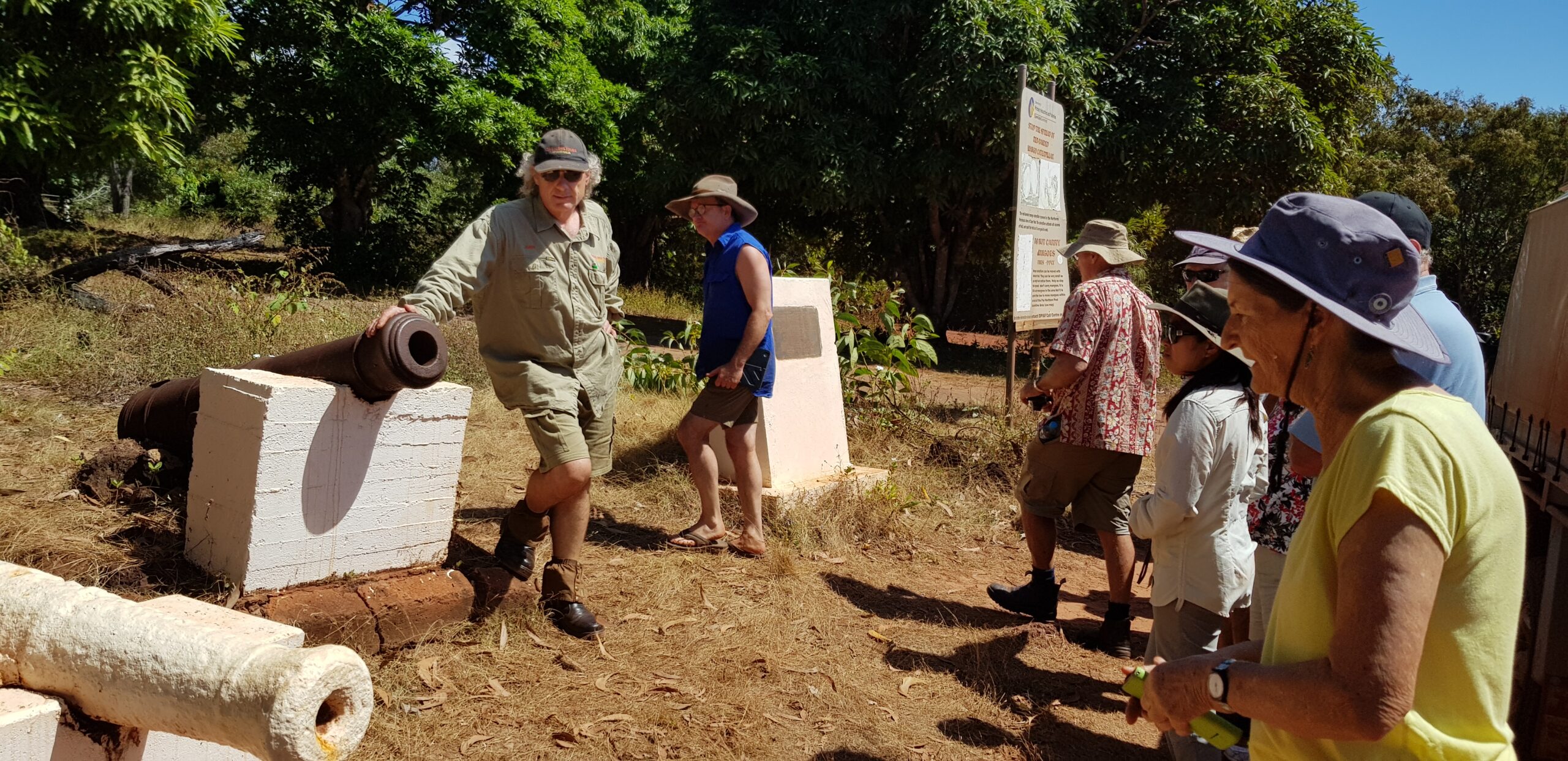
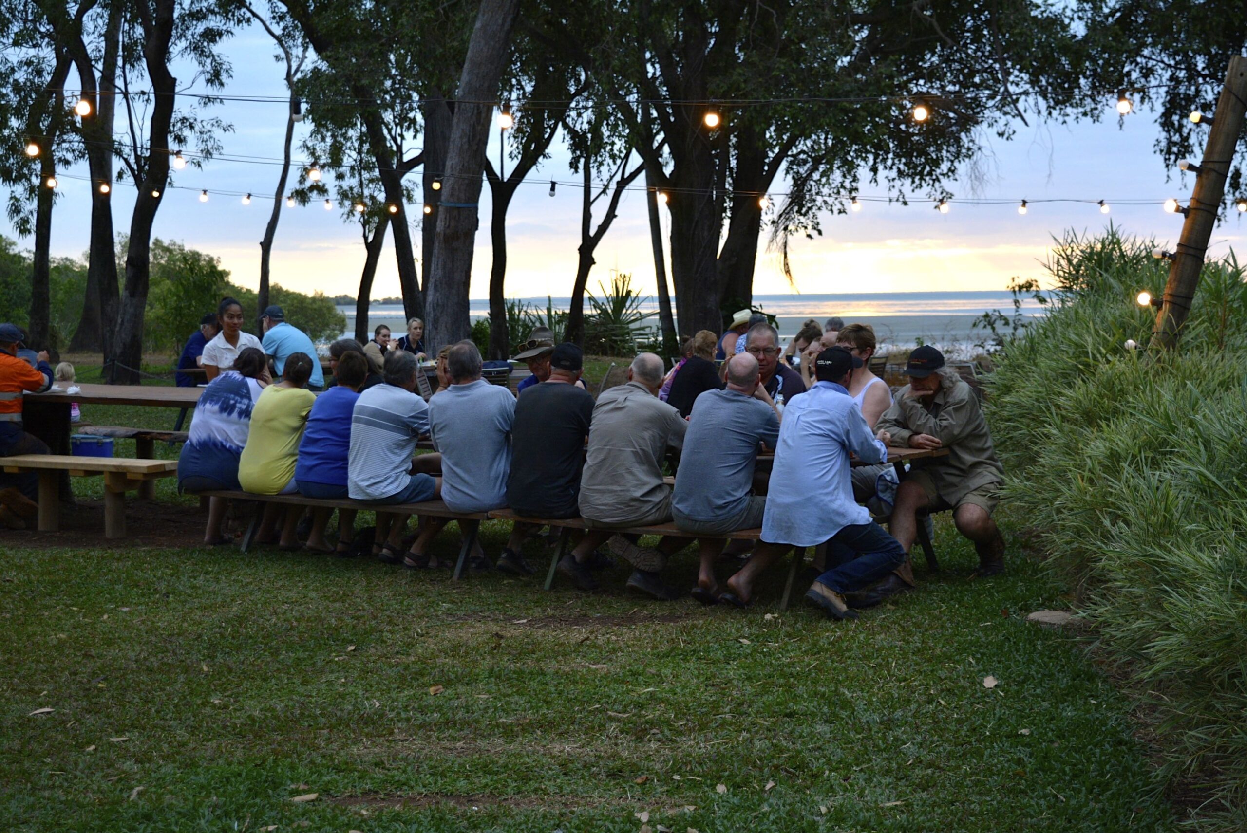
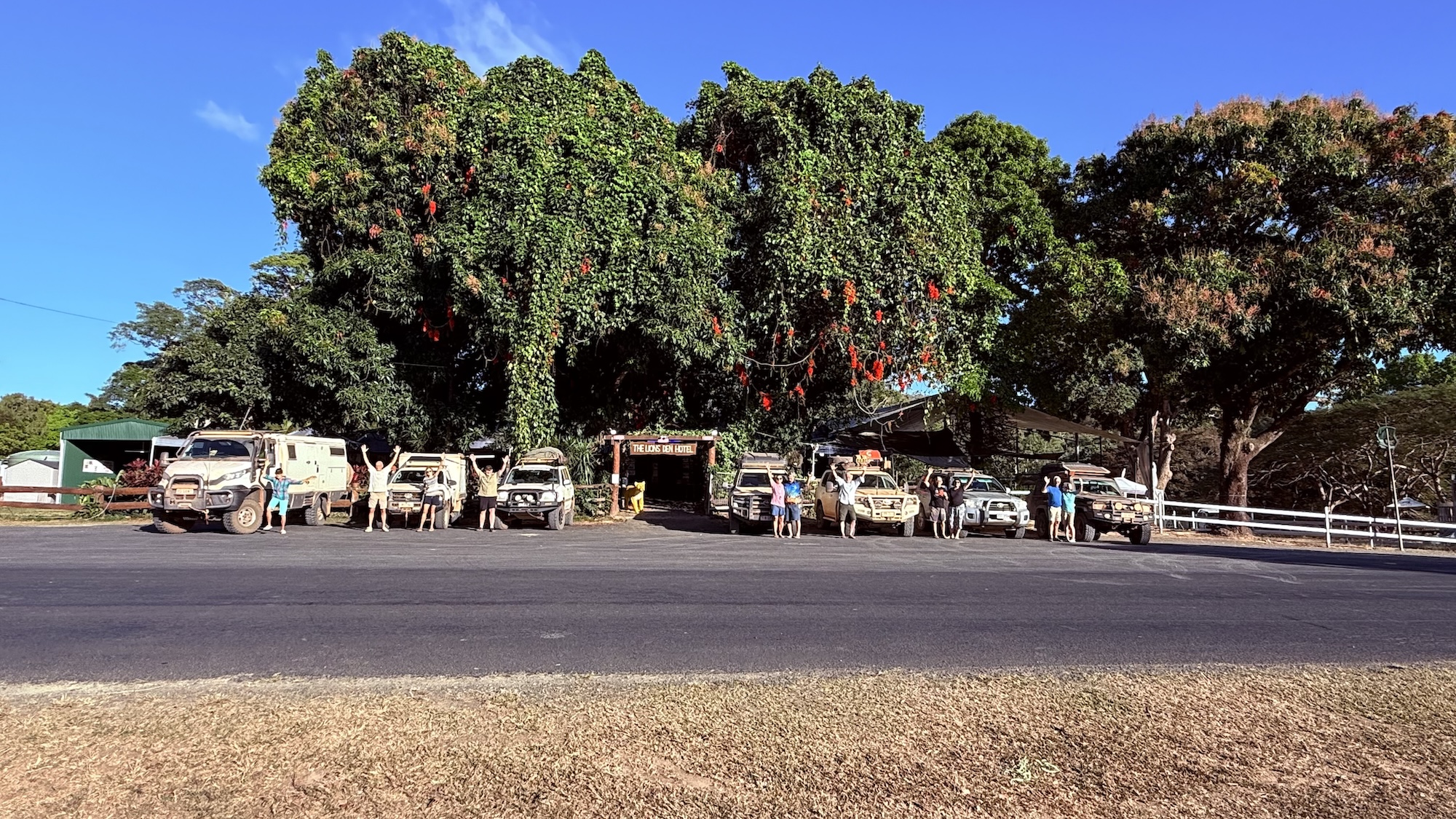
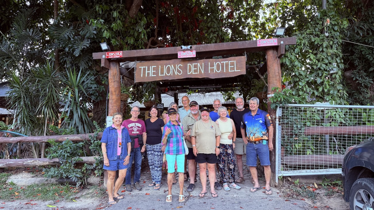
This morning we visit the historic Cooktown Cemetery which is the final resting place of many of the pioneers of the Cape. Later we are given a tour of the James Cook Museum (optional extra) with its many items of historical significance, including the original anchor and cannon from the Endeavour. In the afternoon, we set off down the Mulligan Highway and after turning off to Archer Point, we arrive at the lookout. It’s from here that we can see all the way out to the Great Barrier Reef. Then it’s off to Black Mountain which is over 300 metres high, with its fascinating rock formations and the place of Aboriginal legends. We soon arrive at the Lion’s Den Hotel at Helenvale, where we camp on the grassy banks of the Annan River. For our last night together, we are provided with our Farewell Dinner at this historic pub, which was built in 1875. The food here is great and the atmosphere is
unforgettable, as we celebrate our time together, conquering Cape York.
Day 18
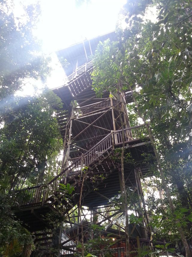
Today, we head for the spectacular Bloomfield Track, which represents a challenging drive through the World Heritage listed Daintree Rainforest. It’s a 4WD only track, traversing several creeks and river crossings including some steep climbs and descents. We cross the Bloomfield River at Wujal Wujal, and soon we get to enjoy the view from the tops of the peaks as we make our way to Cape Tribulation. We stop for a lunch break at Cape Tribulation, and it’s here we get to see where the rainforest meets the reef. This is truly a beautiful part of Australia and soon we are headed for the Daintree River Ferry, where we cross over and begin to make our way south towards Port Douglas. Pretty soon we are following the stretch of road that winds its way beside the Pacific Ocean for many kilometers as we get closer to Cairns. We have enjoyed a truly memorable experience, travelling by 4WD to Cape York, building friendships that are sure to last a lifetime and sharing some of the most beautiful natural scenery in the world. We arrive in Cairns in the late afternoon and bid our farewells before heading home to share our amazing adventures with our families and friends.
